FROM GARFIELD COUNTY EMERGENCY MANAGEMENT-SUNDAY JULY 2, 2017
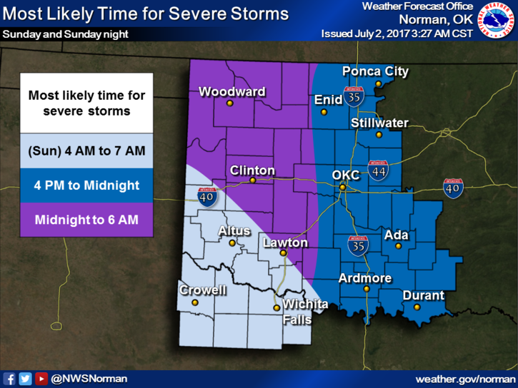
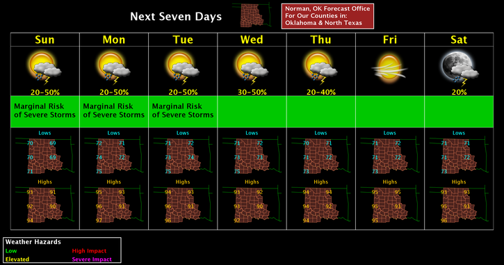
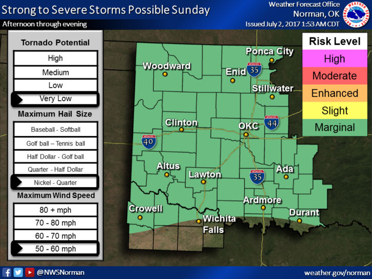
RAIN stays in the forecast for at least the next 3-4 days. Some storms, if they occur, may be severe with wind and hail being the main threats. Timing for our area will be from later this afternoon through at least midnight. Storms may be slow movers so localized flooding could also occur. This said, just stay weather aware and you should be ok.
With humidity on the increase, the heat index will be rising too. If you plan on being outdoors for any length of time make sure you take precautions to protect yourself, your family, and don’t forget your pets, from the heat. Here is your forecast from the NWS/NORMAN;
Today-Scattered showers and thunderstorms, mainly after 1pm. Partly sunny, with a high near 93. Heat index values as high as 99. South wind 5 to 13 mph. Chance of precipitation is 30%.
Tonight-30 percent chance of showers and thunderstorms, mainly after 1am. Mostly cloudy, with a low around 72. South southeast wind 9 to 11 mph.
One last thing, be careful with fireworks and make sure you have permission from land owners to fire them off on private property. It’s illegal on county roads.
Stay safe and have a great day!!
MIKE