0320L-SUNDAY OUTLOOK FROM GARFIELD COUNTY EMERGENCY MANAGEMENT-6/6/21
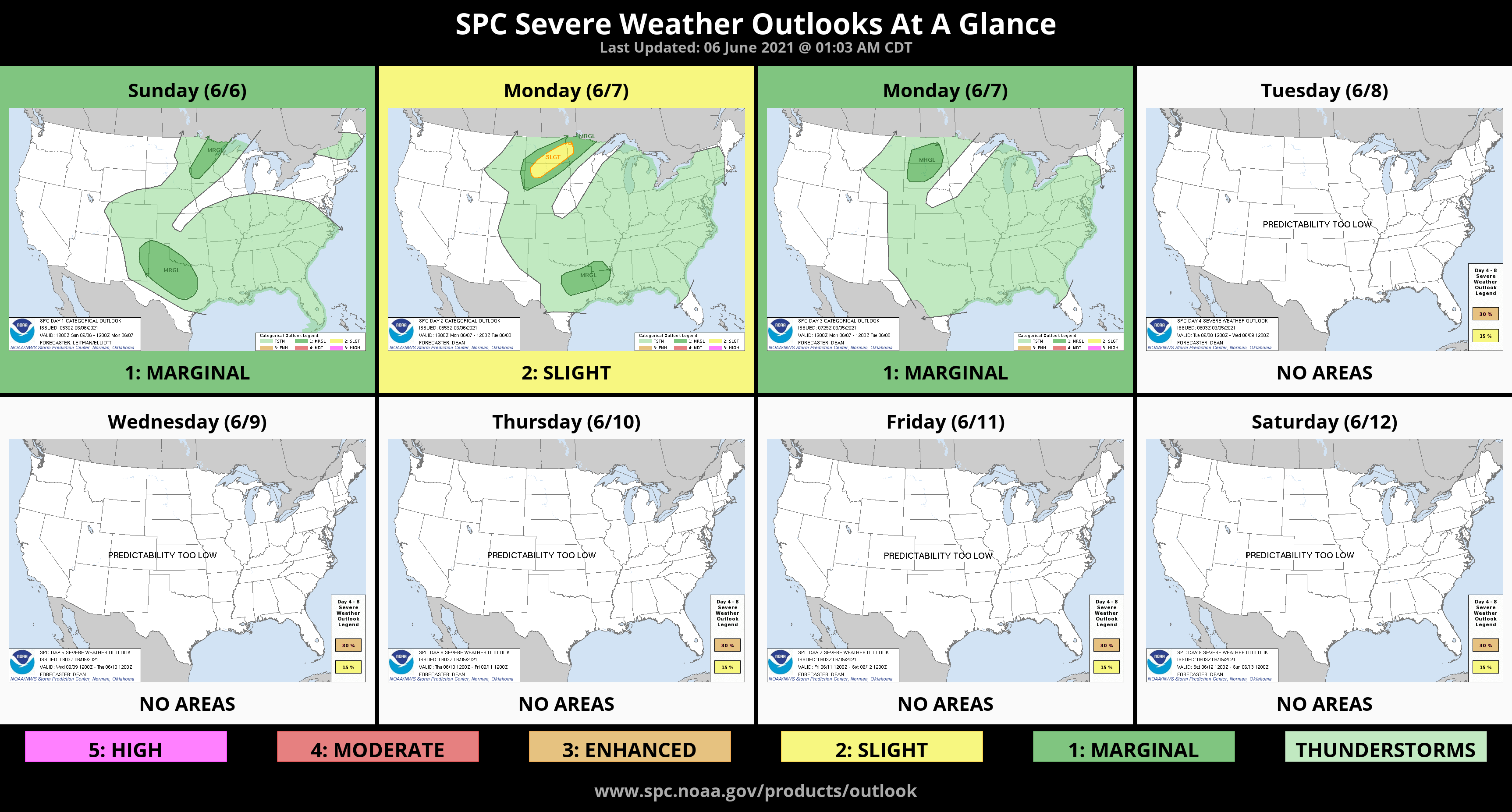
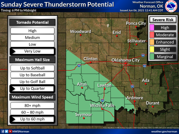
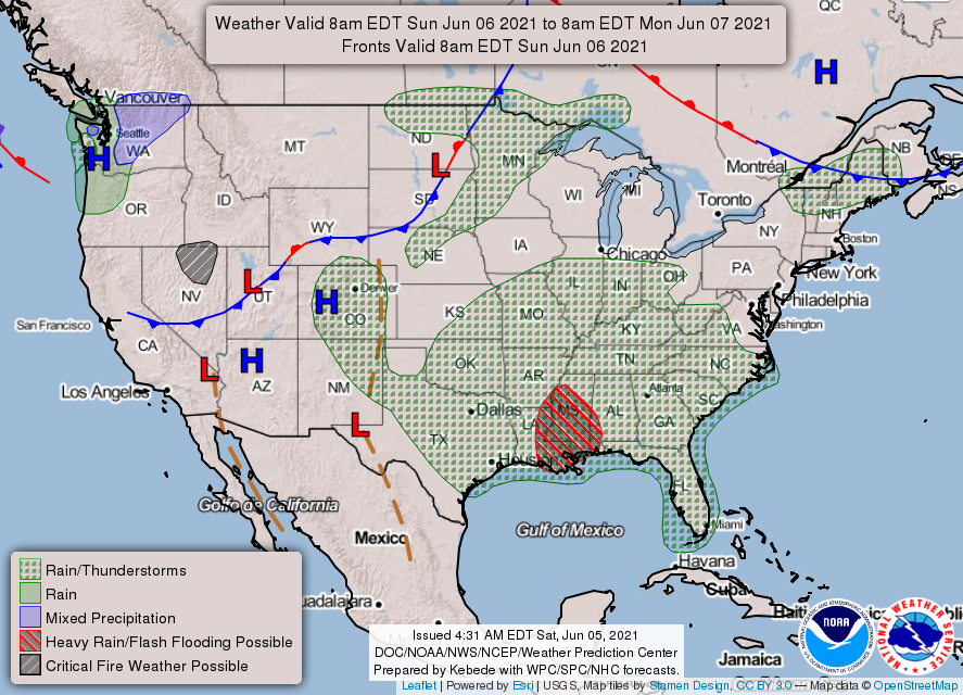
1- We are in a GENERAL thunderstorm risk today and Monday. Chances for us to have thunderstorms here in the area are low but later this afternoon those possibilities go up a little. The main area of precipitation will be in SW and S-CENTRAL Oklahoma and down into Texas. If you plan on traveling into these areas, stay weather aware and follow guidance from either the NWS/NORMAN, NWS/AMARILLO, OR NWS/FORT WORTH/DALLAS. Main threats down there will be wind and hail.
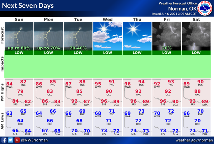
2-As I type this at 3 am, skies are clear but are forecast to become mostly cloudy with a slight chance for possibly some fog then we’ll see what happens precipitation-wise. A few of the models are not in agreement so we’ll see if rain becomes an issue here. I don’t think so but we’ll see what happens. Overall, we’ll be ok so here is your forecast from the NWS/NORMAN;
Sunday-Mostly cloudy. Areas of fog in the morning. A slight chance of thunderstorms in the morning, then a chance of thunderstorms in the afternoon. Highs in the mid-80s. Southeast winds 10 to 15 mph. Chance of thunderstorms 30 percent.
Sunday Night-Partly cloudy. A slight chance of thunderstorms after midnight. Lows in the mid-60s. Southeast winds 10 to 15 mph. Chance of thunderstorms 20 percent.
FINALLY, there are areas where there is standing water in creek and drainage areas. Snakes are lurking in those areas too. Look around your yards closely if you live near one of these areas and check your pools if you have one. If you have kids, look around outside before allowing them to go out and play and then keep that extra eye on them. Snakes will say hi when you least expect it so be careful out there.
Have a good day!!
Mike