0355L-THURSDAY OUTLOOK FROM GARFIELD COUNTY EMERGENCY MANAGEMENT-12/24/20
1-No wind advisory today but wind gusts yesterday per the Mesonet were 53 mph at Lahoma and 46 mph at Breckinridge. I am sure there were a few higher gusts but most weren’t measured. Winds today gust-wise should be around 30 mph. Highs will be lower than we have been enjoying for the last few weeks so take a jacket with you as the windchill will make it feel cooler.
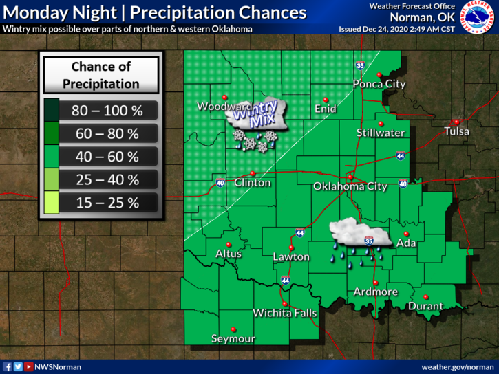
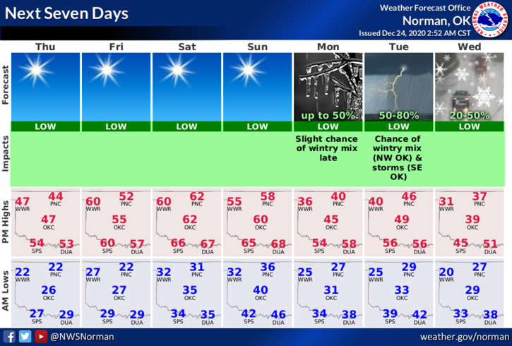
2- The Fire Danger is still fairly critical as winds may be less than yesterday but Dew Point Temps and Humidity will be low. NO CONTROLLED BURNING TODAY PLEASE!! Temps will vary some between now and Monday when another storm system is set to arrive in the area. Gulf moisture will return prior to the system and we may see another winter snow/sleet/ice event occur Monday through Wednesday. Many variables right now so we’ll wait and see how that mess comes together.
3- Overall, between now and then fairly nice weather but cooler. Here is your forecast from the NWS/NORMAN;
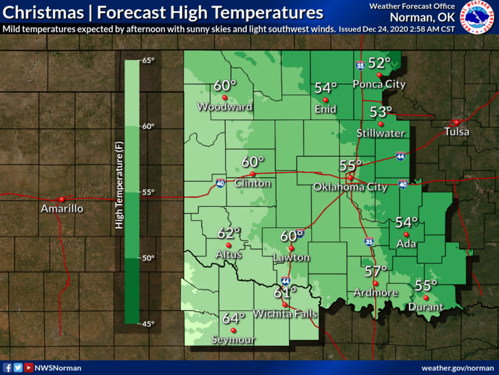
Today- Mostly sunny with highs in the upper 40s. Northwest winds 10 to 20 mph gusting to 30 mph.
Tonight- Clear with lows in the lower 20s. Northwest winds around 10 mph in the evening becoming light and variable.
HAVE A GOOD DAY!
MIKE