0350L-THURSDAY OUTLOOK AND INFO FROM GARFIELD COUNTY EMERGENCY MANAGEMENT-1/9/2020
1- Are you prepared? If you don’t have our emergency notification app-GARFIELD COUNTY EM, you’re not!!
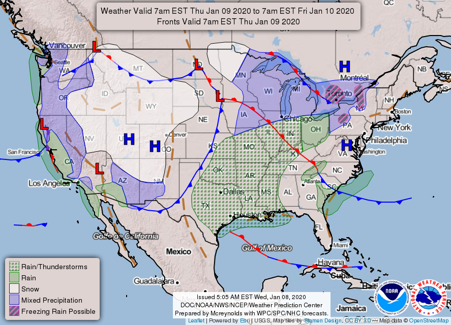
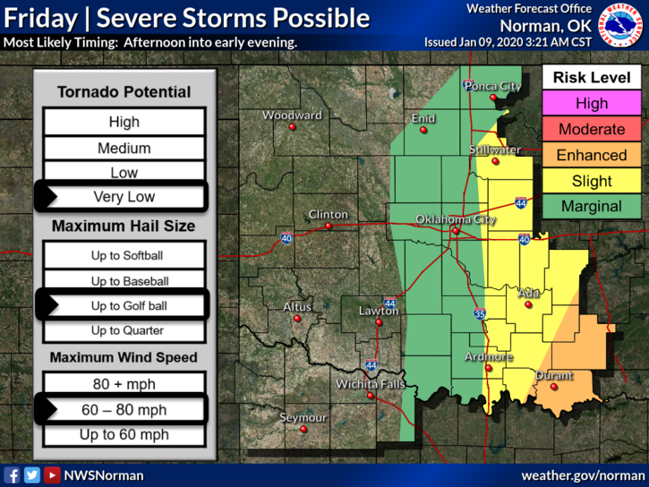
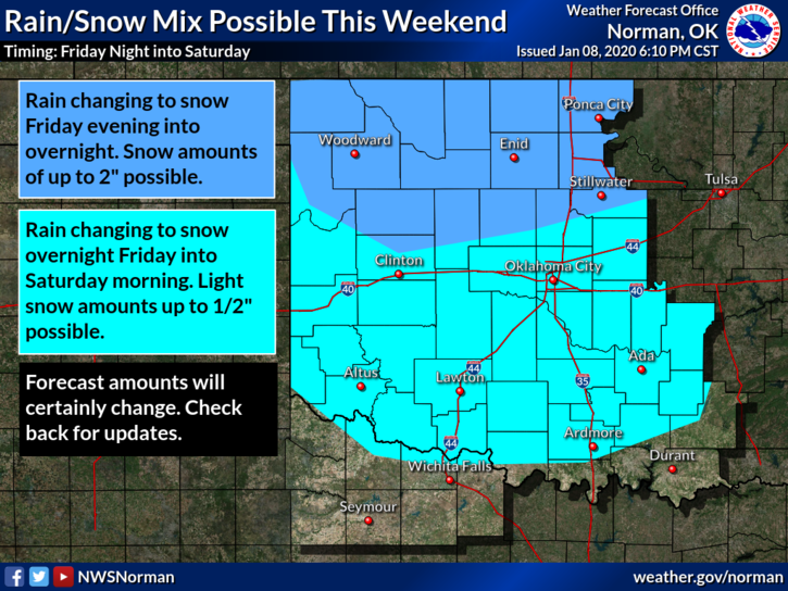
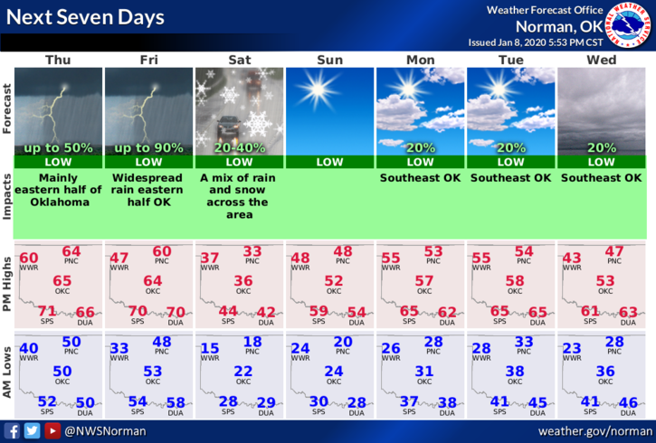
2- Thunderstorms are expected mainly east of I-35 this afternoon and evening. Extremely low chance here. FRIDAY-We have a better chance for thunderstorms with severe weather most likely to our southeast. Friday night, we could see some snowfall. Don’t hold your breath but it could occur. See graphics attached.
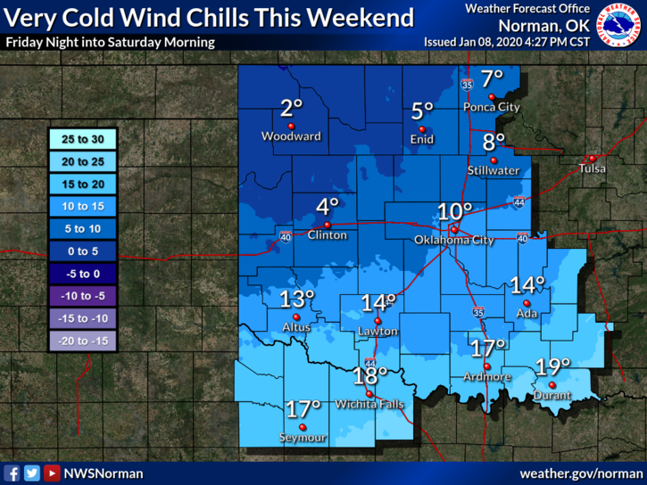
3- It’s going to get colder over the weekend folks so make sure you wear pants and a coat.
4-Here is your forecast from the NWS/NORMAN;
Thursday- Partly sunny with a high near 64. Southwest wind 15 to 20 mph decreasing to 5 to 15 mph in the afternoon. Winds could gust as high as 28 mph.
Thursday Night-20 percent chance of showers and thunderstorms after midnight. Mostly cloudy with a low around 45. South wind 5 to 7 mph.
HAVE A GREAT DAY!!
MIKE