0310L-THURSDAY OUTLOOK FROM GARFIELD COUNTY EMERGENCY MANAGEMENT-7/13/23
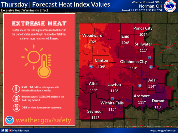
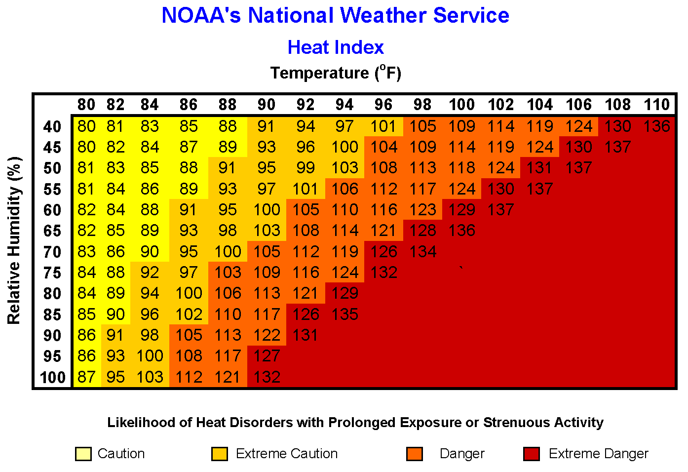
**HEAT ADVISORY IN EFFECT FROM 1200L (12PM) UNTIL 2100L (9PM). Heat Index values up to 110 are expected. Use EXTREME CAUTION while working outdoors. This MIGHT be upgraded to an excessive heat warning later today if parameters are met as they were yesterday. *
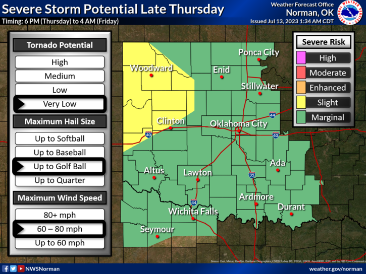
*We are in a MARGINAL RISK for severe weather from roughly 6pm this evening until 4 am Friday morning. Storms will form on the high plains once again and roll our way. If we do see severe weather, it will be due to the threats of winds from 60- 80 mph and golf ball size hail. This will be watched carefully as the day wears on.
*OVERALL, we’ll be ok so here is your forecast from the NWS/NORMAN;
Today- Mostly sunny. A slight chance of showers and thunderstorms this afternoon. Highs in the mid-90s. East winds 5 to 10 mph. Chance of rain 20 percent. Heat index values up to 108 this afternoon.
Tonight- Mostly cloudy with a chance of thunderstorms. A chance of showers. Humid with lows in the lower 70s. East winds 10 to 15 mph, becoming southeast after midnight. Gusts up to 30 mph. Chance of rain 40 percent. Heat index values up to 107 early in the evening.
*FINALLY: AS STATED YESTERDAY, some folks are complaining about getting too many advisories or warnings over our GARFIELD COUNTY EM app. I have NO CONTROL over NWS Issuance’s. If it bothers you, you can turn those off and on without a password by tapping SETTINGS, then Notification settings, then find NOAA Weather Alerts, and turn it off. Now, you won’t receive anything until you turn it back on. NWS issues these alerts as they feel they are needed. I consider them important, mainly as a reminder we have a possible dangerous weather situation. Now you are in better control of your information. Just don’t forget to turn them back on when bad weather occurs. ALL PROTECTED CHANNELS ARE FOR EMERGENCY SERVICES/AND SPECIAL OPERATIONS PERSONNEL.
*ADVISED & PREPARED? Download our GARFIELD COUNTY EM app and you will be.
HAVE A GOOD DAY!