0400L-THURSDAY UPDATE FROM ENID/GARFIELD COUNTY EMERGENCY MANAGEMENT-7/19/18
1-HEAT ADVISORY REMAINS IN EFFECT FROM “NOON TODAY UNTIL FRIDAY AT 7PM”. With high temperatures around 104, dangerous heat indices will occur putting those numbers even higher. “EXTREME CAUTION” IS ADVISED WHILE OUTDOORS OVER THE NEXT 3-4 DAYS.
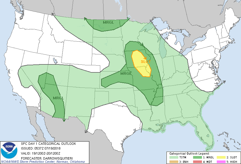
2- We are also in a GENERAL RISK are for thunderstorms per SPC guidance. Chances are low but there. Just keep this in mind.
3- The most important thing over the next few days will be how you deal with the heat. STAY INSIDE if you have issues with heat as it won’t take long for those to affect you. Keep an eye on the kids and make sure you take care of your pets too.
4- Here is your forecast from the NWS/NORMAN;
Thursday-Sunny, warmer. Highs around 104. Light and variable winds.
Thursday Night-Mostly clear. Lows in the upper 70s. Light and variable winds becoming south around 10 mph after midnight.
HAVE A GOOD DAY!!
MIKE