0430L-WEDNESDAY UPDATE FROM ENID/GARFIELD COUNTY EMERGENCY MANAGEMENT-7/18/18
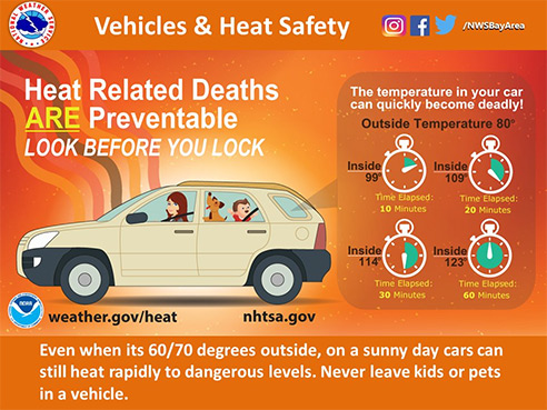
1-HEAT ADVISORY IN EFFECT FROM 12 NOON TODAY UNTIL 7PM ON FRIDAY. A HEAT ADVISORY MEANS THAT A PERIOD OF HOT TEMPERATURES IS EXPECTED. THE COMBINATION OF HOT TEMPERATURES AND HIGH HUMIDITY WILL COMBINE TO CREATE A SITUATION IN WHICH HEAT ILLNESSES ARE POSSIBLE. DRINK PLENTY OF FLUIDS, STAY IN AN AIR-CONDITIONED ROOM, STAY OUT OF THE SUN, AND CHECK UP ON RELATIVES AND NEIGHBORS.
2-That said, if you work outside stay hydrated and take breaks. No need to get into a hurry and possibly have heat issues. Take your time.
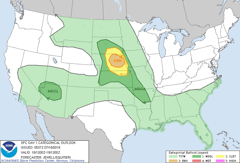
3- We are in a GENERAL THUNDERSTORM risk for today. Storms may pop up just about anywhere so be prepared for rain just in case. This threat is mostly for this morning but is also possible later today. We’ll see what happens.
4- Here is your forecast from the NWS/NORMAN;
Wednesday-30 percent chance of showers and thunderstorms before 7am, then gradually becoming mostly sunny and hot. High near 99. Heat index values around 103. East southeast wind around 10 mph.
Wednesday Night- Low around 75. East southeast wind around 10 mph.
Be sure to get our app-GARFIELD COUNTY EM. Without it, you’re not prepared!
MIKE