0350L-THURSDAY OUTLOOK FROM GARFIELD COUNTY EMERGENCY MANAGEMENT-3/4/21
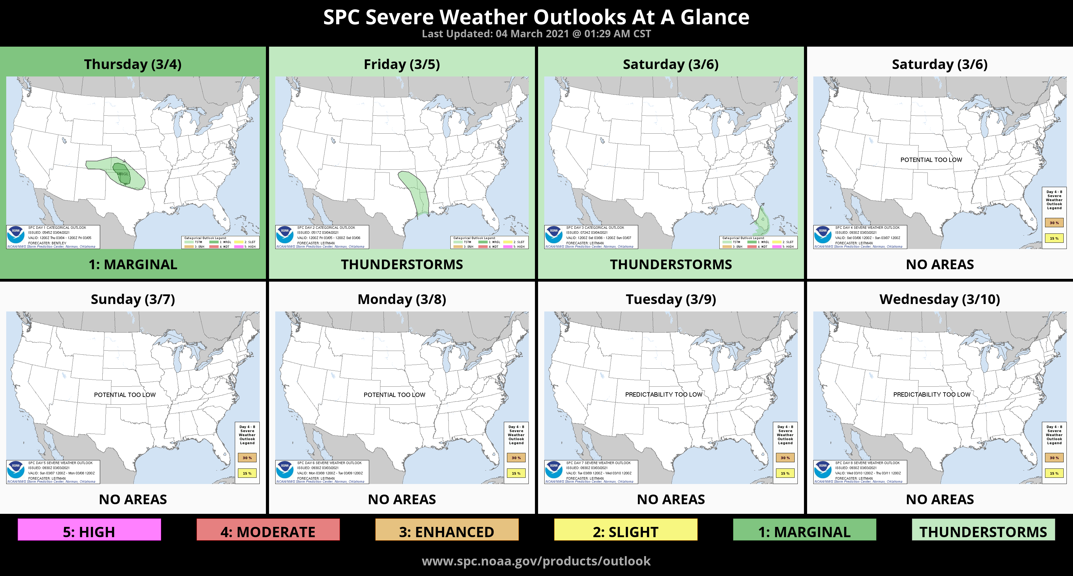
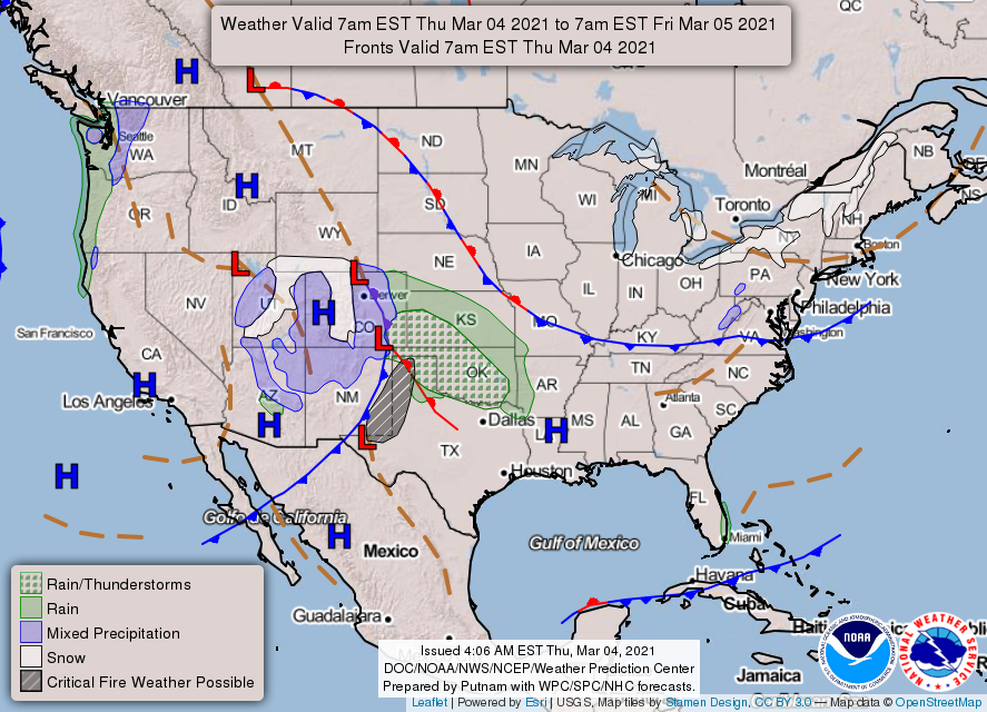
1- We are in a GENERAL Thunderstorm Risk area but close to MARGINAL Risk Area for severe weather later today and tonight. If storms do go severe, 1 inch hail would be the main risk along with gusty winds. The higher risk, as stated, is out in NW Oklahoma so we’ll wait and see what happens and adjust accordingly. Don’t get hyper and out of control if you happen to watch TV weather. Stay calm and we’ll be ok.
2- Until the rain occurs, the fire danger may be elevated so use extreme caution if burning anything today. If anyone see smoke or fire, call 911 so the proper response can be dispatched.
3- Here is your forecast from the NWS/NORMAN;
Today-Increasing clouds. Highs around 70. Southeast winds 10 to 20 mph.
Tonight-Rain showers and a slight chance of thunderstorms. Lows in the mid-40s. East winds 10 to 15 mph.
4- FINALLY- If you haven’t already, download our GARFIELD COUNTY EM app. It’s a great way to stay informed from us and the NWS IN NORMAN. You never know, it just might help you have peace of mind along with saving your life at some point.
HAVE A GOOD DAY!!
MIKE