0335L-THURSDAY OUTLOOK FROM GARFIELD COUNTY EMERGENCY MANAGEMENT- 10/27/22
1- If disaster strikes and you’re not prepared, it will be a rough ride to recovery. Our GARFIELD COUNTY EM app could help you prepare for and mitigate those issues. Download it and start the preparedness and understand the recovery process before anything happens.
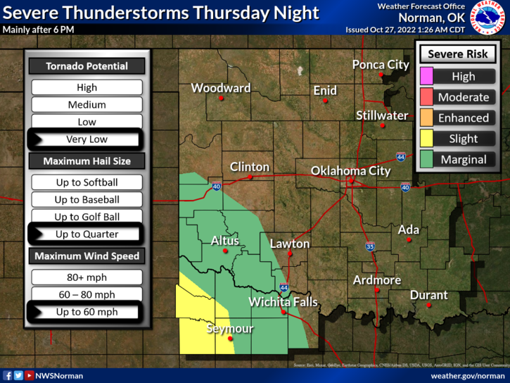
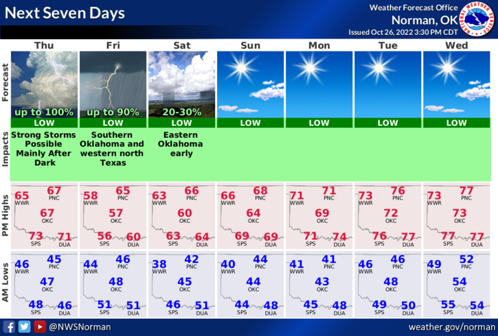
2- Another cold front will push in later today and another chance for rain is possible. After this mess pushes out, a descent weekend is expected.
3- Overall, we’ll be ok so here is your forecast from the NWS/NORMAN;
Today-Mostly sunny this morning, then mostly cloudy with a chance of showers this afternoon. Highs in the upper 60s. Southeast winds 15 to 20 mph with gusts up to 30 mph. Chance of rain 30 percent.
Tonight-Mostly cloudy. A chance of showers in the evening, then showers likely after midnight. Lows in the mid-40s. East winds 10 to 15 mph. Chance of rain 60 percent.
The FIRE DANGER is low BUT keep an eye out for suspicious activity. We are still looking for our arsonist. Call 911 or the Sheriff’s office if you see smoke, fire, or that suspicious activity.
HAVE A GOOD DAY!