0320L-THURSDAY OUTLOOK FROM GARFIELD COUNTY EMERGENCY MANAGEMENT-9/16/21
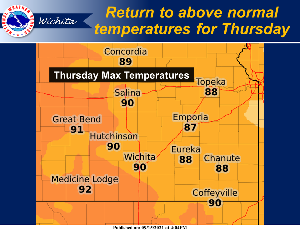
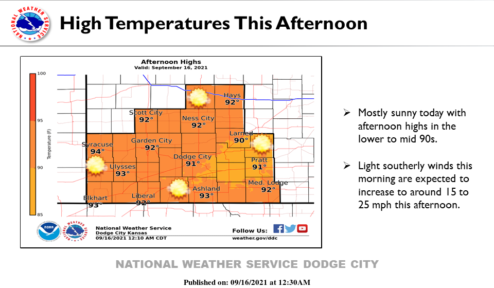
1- No thunderstorm activity is expected through next Monday. An actual cold front is expected on Tuesday bringing with it colder air and a good chance for thunderstorms. We’ll see what happens on the thunderstorm part but cooler temps is something most folks have been waiting on. If highs in the upper 70s and low 80s, possibly lower, appeal to you then just get through the next 6 days and you just might need a light jacket in the evenings. Low temps look like they may be in the mid-50s to low 60s. We’ll see what happens as we move forward.
2- Here is the link to the Preparedness paper I wrote that hopefully simplifies the process and helps you understand what happens on my side and yours. It’s actually VERY IMPORTANT that you understand this. It isn’t complicated but you do need to think and react accordingly in this process. There are many more steps but 2.5 pages is enough for now. More will come this fall but this will be a good start. Don’t put it off! This is a Word Doc. https://gcem.org/wp-content/uploads/2021/09/Preparedness-2021.docx
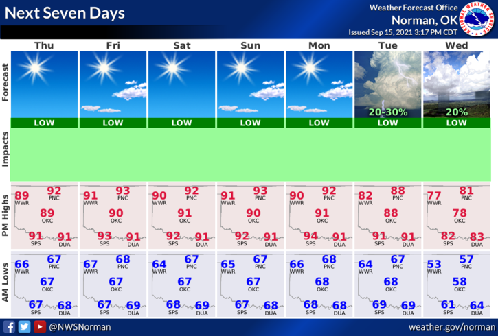
3- Here is your forecast from the NWS/NORMAN;
Thursday-Mostly sunny. Highs in the lower 90s. South winds 10 to 15 mph.
Thursday Night-Clear. Lows in the mid-60s. Southeast winds around 10 mph.
STAY SAFE!
MIKE