0340L-TUESDAY OUTLOOK FROM GARFIELD COUNTY EMERGENCY MANAGEMENT-8/10/21
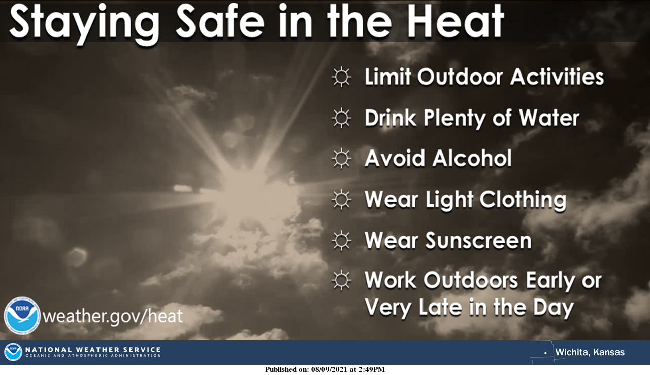
1- “HEAT ADVISORY” IN EFFECT FROM NOON UNTIL 8PM. Heat index up to 106 is possible today. Overall, HOT, MUGGY, AND MISERABLE. The only thing we have going for us today, is the wind.
2- A pattern change will start to slowly occur as the week progresses. A little cooler and rain chances will go up, not real high, but up.
3-Per guidance, “As the week progresses, the mid-level ridge is forecast to weaken allowing a more active pattern to our north to start inching in with its influence. The overall effect of this will be to gradually decrease temperatures and increase rain chances”.
4-Here is your forecast from the NWS/NORMAN;
Tuesday-Sunny and hot with a high near 100. Heat index values as high as 107. South winds 10 to 20 mph, with gusts as high as 29 mph.
Tuesday Night-Partly cloudy with lows in the upper 70s. South wind 10 to 20 mph, with gusts as high as 29 mph.
Have a good day, stay cool, and stay hydrated.
MIKE