0415L-TUESDAY OUTLOOK FROM GARFIELD COUNTY EMERGENCY MANAGEMENT-1/22/19
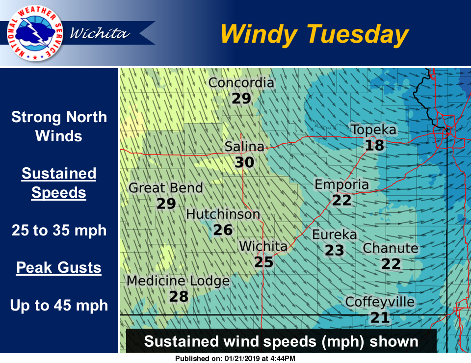
1) A COLD FRONT IS EXPECTED TO MOVE THROUGH THE AREA THUS LOWERING THE TEMPS AND INCREASING WINDS FROM THE NORTH. NO WIND ADVISORY YET BUT THAT MAY OCCUR IF WIND GUSTS REACH 40 MPH.
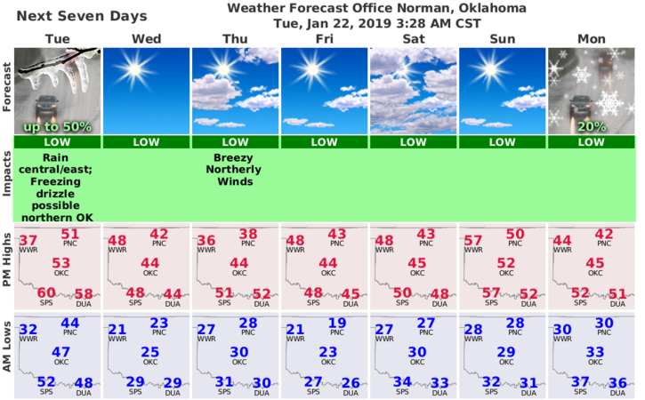
2) After frontal passage, there is a slight chance for freezing drizzle and a small window for MAYBE some snow. Wind chill temps later Tuesday night will be around 12 degrees
3) Just be prepared for possibly slick conditions IF we see some precipitation.
4) Here is your forecast from the NWS/NORMAN;
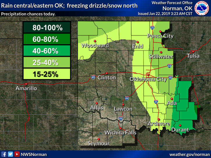
Today-Mostly cloudy with a slight chance of rain showers in the late morning and early afternoon. Slight chance of light freezing drizzle and snow late in the afternoon. Highs in the lower 50s with southwest winds 15 to 20 mph shifting to the northwest 20 to 25 mph in the afternoon. Chance of precipitation 20 percent.
Tonight- Partly cloudy and Colder. Lows in the mid-20s with Northwest winds 10 to 20 mph.
FINALLY, GET OUR GARFIELD COUNTY EM APP. YOU’RE NOT PREPARED WITHOUT IT!
MIKE