0405L-TUESDAY OUTLOOK FROM GARFIELD COUNTY EMERGENCY MANAGEMENT-5/25/21
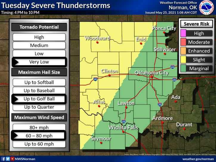
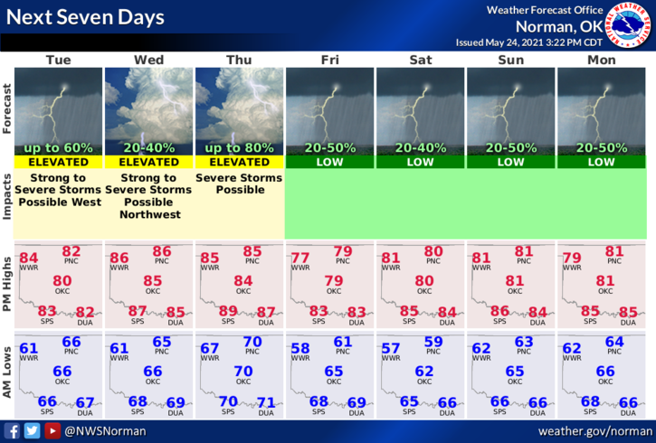
1- SLIGHT RISK AREA for possibly a few severe thunderstorms this afternoon into the evening hours. Main risks will be hail and wind. The dryline will become the focus area due to clearing behind that line. Strong diabatic heating will be a big factor in destabilization later today just to our west per guidance from the Storm Prediction Center. Strong to severe storms could become a factor as that occurs. We’ll see what happens.
2- The NWS/WICHITA is stating that severe storms may be focused in their south-central area later today. As storms weaken later tonight, flooding could become a factor so for the sake of this information including our area, rainfall may cause some flooding issues so keep this in mind if you plan on traveling.
3- Overall, we’ll be ok BUT stay WEATHER AWARE. Here is your countywide forecast from the NWS/NORMAN;
Today-Mostly cloudy with a chance of thunderstorms. Warmer. Highs in the mid-80s. South winds 10 to 15 mph. Chance of thunderstorms 50 percent.
Tonight-Mostly cloudy with a chance of thunderstorms. Lows in the lower 60s. South winds 10 to 15 mph shifting to the west after midnight. Chance of thunderstorms 50 percent.
FINALLY, be sure and download our GARFIELD COUNTY EM app. You are best prepared with it than without it.
HAVE A GOOD DAY!
MIKE