0325L-MONDAY OUTLOOK FROM GARFIELD COUNTY EMERGENCY MANAGEMENT-5/24/21
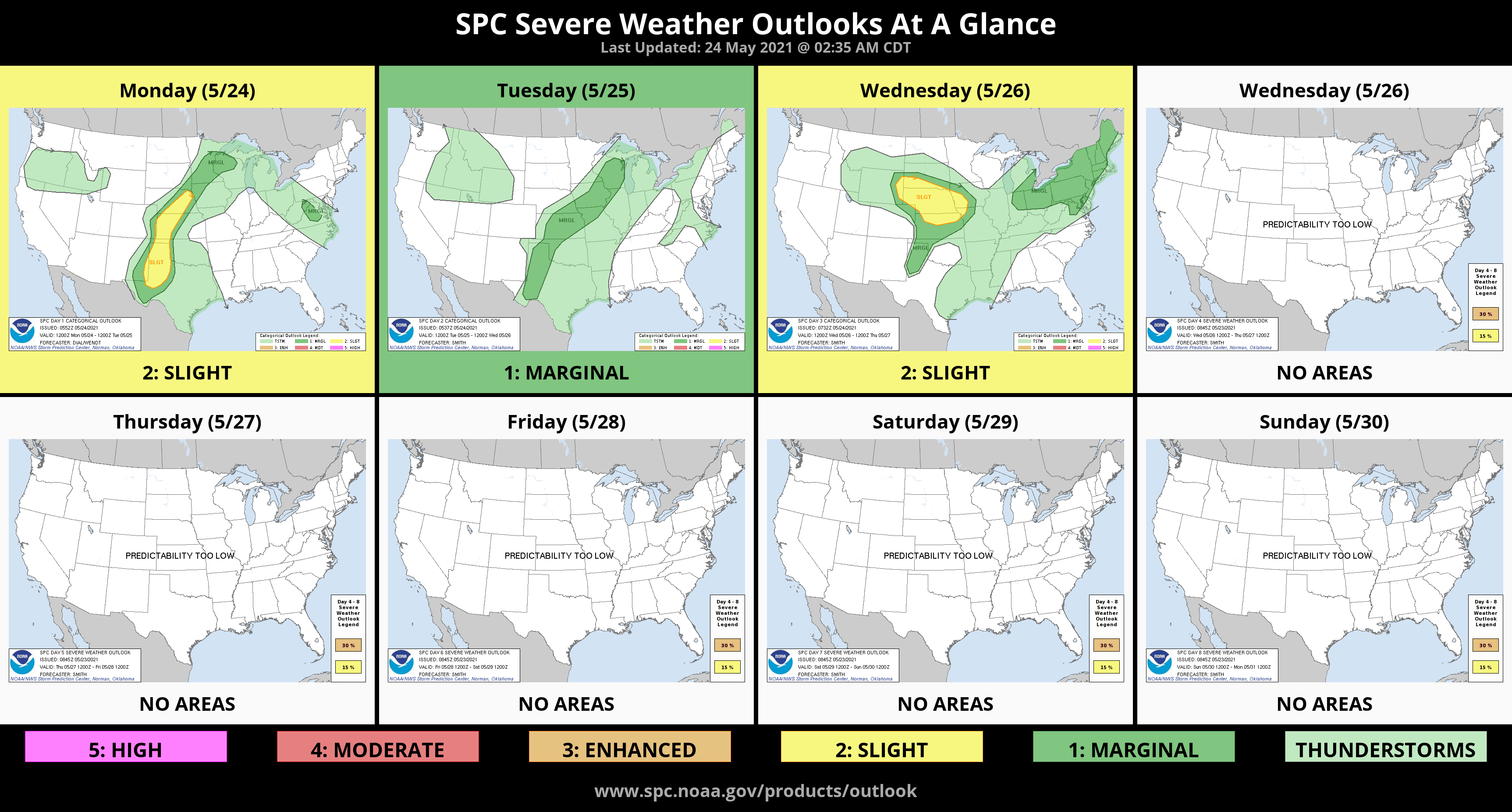
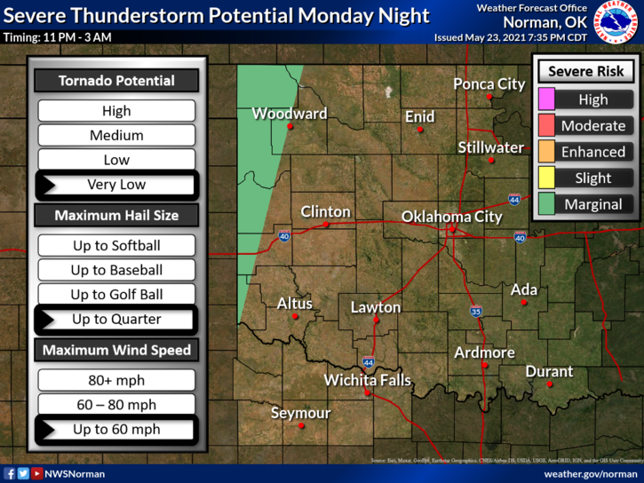
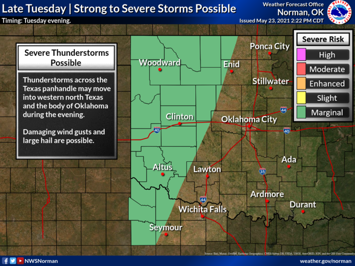
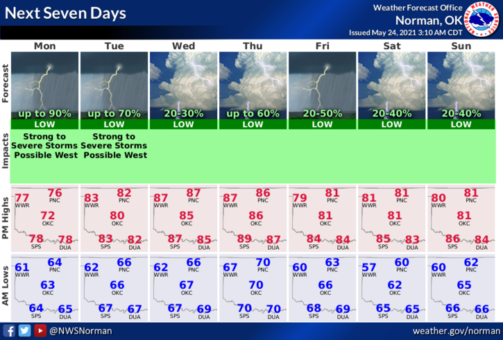
1- CLOUDY with some shower activity once again today. We are in a GENERAL THUNDERSTORM area so anything can happen just about anywhere in the region. Severe weather isn’t expected here today but it appears it may possibly occur here Tuesday and again Thursday into Friday per guidance. We’ll see if this works out. Personally, I am ready for sunshine and warmer temps.
2- Some areas around the county have received over 3 inches of rainfall this past week. I received 3/8 of an inch. Let me know your totals if you have time to send them to me. Overall, we’ll be ok. Just try not to be frustrated with all of the cloud cover. When this is all over, we may be clear and in the 90s or higher. At least enjoy the cooler weather for now. Here is your forecast from the NWS/NORMAN;
Today-Mostly cloudy. A slight chance of thunderstorms in the late morning and afternoon. Highs in the mid-70s. South winds 10 to 15 mph with higher gusts. Chance of precipitation 40 percent.
Tonight-Mostly cloudy. Lows in the mid-60s. South winds 10 to 15 mph with higher gusts.
FINALLY-be sure and download our GARFIELD COUNTY EM app. It’s loaded with preparedness tips and other information. You never know but it just could save your life in a dangerous situation.
HAVE A GOOD DAY!!
MIKE