0415L-TUESDAY OUTLOOK AND INFO FROM GARFIELD COUNTY EMERGENCY MANAGEMENT-9/10/19
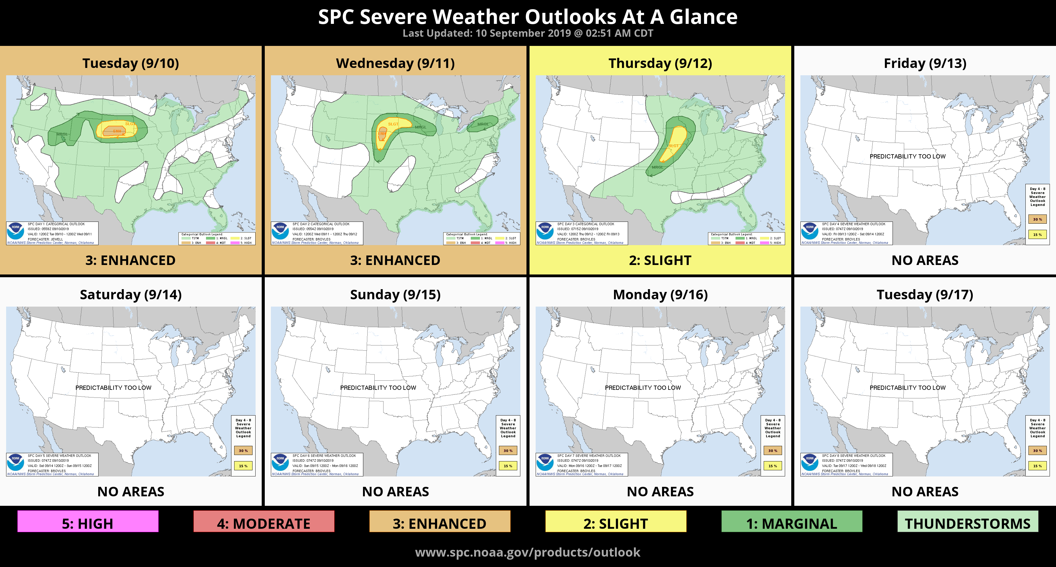
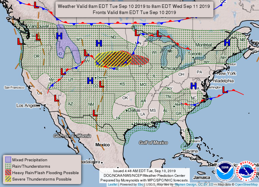
1- We are in a GENERAL RISK for thunderstorms today. If they occur, we aren’t expecting severe but if they are, winds will be the main threat. Thursday and Friday, it looks like several inches of rain. We’ll see how that works out.
2- PREPARED, NOT SCARED. This slogan has worked for me for many years. The more you know the less scared about anything you’ll be. People fear mostly because of HYPE. Others get wound up and express themselves loudly and this alone can cause anxiety. Don’t let others get you out of control. Read and study what the issues are and make your own decisions based on fact and weather-wise pay the closest attention to the NWS if its weather related. No panic there. By the way, ALL NWS warnings, advisories, etc. come through our GARFIELD COUNTY EM app along with a bunch of preparedness tips. Thursday, besides the possibility of severe weather, I’ll discuss emergency kits.
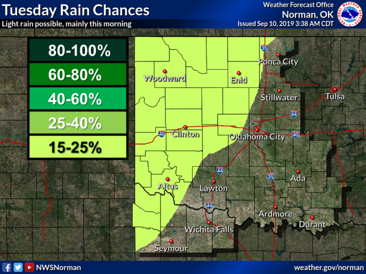
3- Here is your forecast from the NWS/NORMAN;
Tuesday-20% chance of showers and thunderstorms before 1pm. Partly sunny with a high near 91. South wind 10 to 15 mph gusting to 20 mph.
Tuesday Night- Partly cloudy with a low around 72. South winds 10 to 15 mph gusting to 20 mph.
HAVE A SUPER DAY!!
MIKE