0345L-TUESDAY OUTLOOK FROM GARFIELD COUNTY EMERGENCY MANAGEMENT-9/7/21
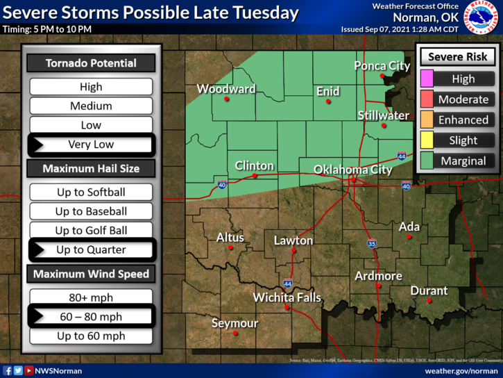
1- We are in a MARGINAL RISK for severe weather later today as a cold front pushes into the area. IF storms do occur, quarter size hail and damaging winds upwards of 70 mph will be the main threats. It’s impossible to say where these will form but stay very weather aware later this afternoon into the evening hours. The front is expected sometime around the 4 to 6 pm timeframe. Remember that timing is approximate. Storm chances are at 30% but we’ve had storms in the past when percentages were low. Just stay weather aware!
2- The heat index will be higher today if we see increased moisture so make sure you stay hydrated. Temps will be around 100 and the heat index near 105 so use extreme caution out there.
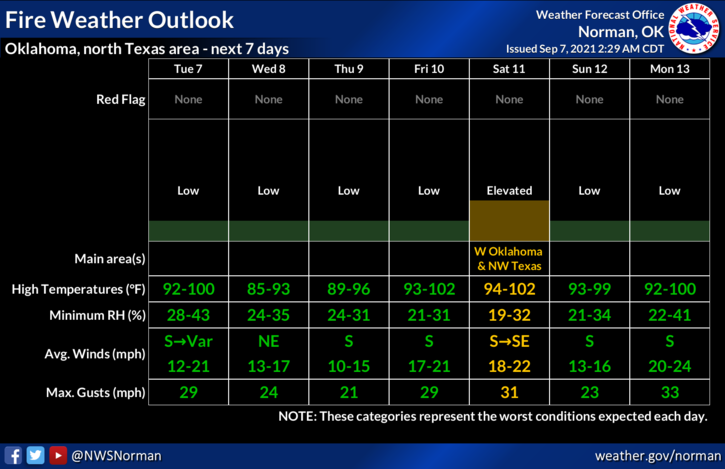
3- The FIRE DANGER is increasing so use caution when doing anything related to fire. OVERALL, we’ll be ok so here is your forecast from the NWS/NORMAN;
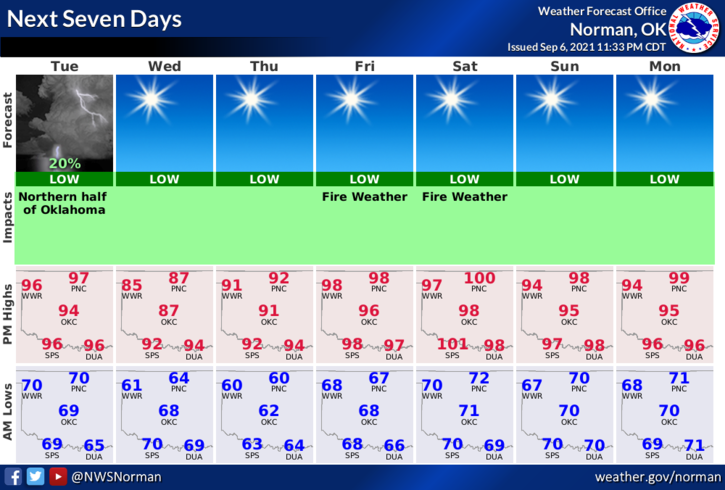
Today-Increasing clouds. Isolated thunderstorms late in the afternoon. Highs around 100. Southwest winds 10 to 15 mph. Chance of thunderstorms 20 percent.
Tonight-Mostly clear. Scattered thunderstorms in the evening. Lows in the lower 60s. Northeast winds 10 to 15 mph. Chance of thunderstorms 30 percent.
FINALLY; today might be a good day to download our GARFIELD COUNTY EM app. The information that will come through it later could be very important to you.
HAVE A GOOD DAY!
MIKE