0340L-WEDNESDAY OUTLOOK FROM GARFIELD COUNTY EMERGENCY MANAGEMENT-8/03/22
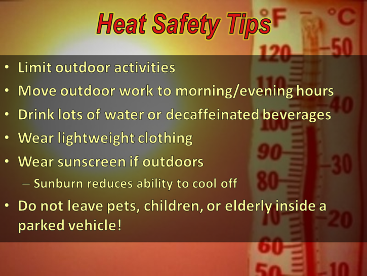
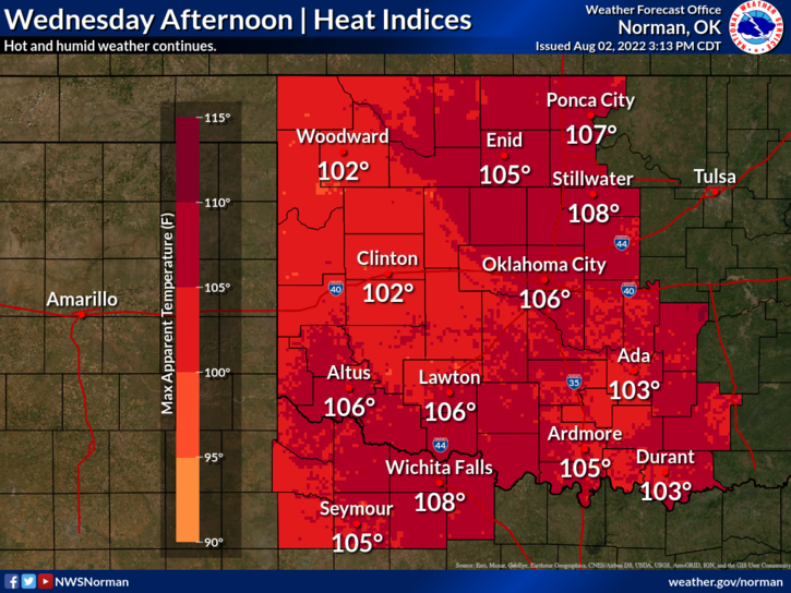
1-HEAT ADVISORY IN EFFECT FROM NOON UNTIL 8PM THIS EVENING.
2- We are in a GENERAL THUNDERSTORM risk area for today and tonight.
2- Slight chance for thunderstorms as a weak front enters the region later today and tonight. A few could be marginally severe due to winds so we’ll see what happens.
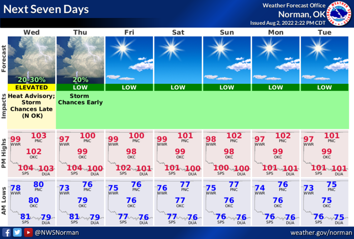
3- That said, here is your forecast from the NWS/NORMAN;
Today-Mostly sunny. Hot with highs around 103. South winds 10 to 15 mph with gusts up to 25 mph.
Tonight-Partly cloudy. A slight chance of showers and thunderstorms in the evening, then a chance of showers and thunderstorms after midnight. Lows in the mid-70s. South winds 10 to 15 mph. Chance of rain 30 percent. Heat index values up to 105 early in the evening.
Overall, we’ll be ok, just a little toasty once again. If you see smoke or fire, call 911 asap so the proper response can be sent.
HAVE A GOOD DAY!