0355L-WEDNESDAY OUTLOOK AND INFO FROM GARFIELD COUNTY EMERGENCY MANAGEMENT-8/7/19
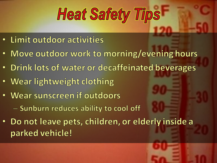
1-HEAT ADVISORY IN EFFECT FROM NOON UNTIL 8PM THIS EVENING. HEAT INDEX VALUES FROM 105 TO 110 DEGREES ARE POSSIBLE. Just think, if you already had our GARFIELD COUNTY EM app, you would know this!!
2- We are in a GENERAL RISK area for thunderstorms through Friday. Hopefully some do occur. If they do, wind and hail would be the main threats. We’ll see what develops between now and then. Also, if you plan on traveling, check the forecast along your route and destination so you’ll know what’s happening or expected. All NWS offices are here- https://gcem.org/links/
3- ELECTRICAL TIP: When power goes out, people panic!! WHY? It seems we are all spoiled but power does unfortunately go out and when it does, you SHOULD have a backup plan. You HOPEFULLY have a plan for fire, storms, and other emergencies SO MAKE SURE YOU HAVE ONE FOR ELECTRICAL OUTAGES. More on this coming up.
4- Here is your forecast from the NWS/NORMAN;
Wednesday-Mostly sunny and hot, with a high near 103. Heat index values as high as 107. South wind 5 to 15 mph.
Wednesday Night-30 percent chance of showers and thunderstorms, mainly after 1am. Partly cloudy, with a low around 77. South southeast wind 10 to 15 mph, with gusts as high as 20 mph.
HAVE A SUPER DAY!!
MIKE