0340L-WEDNESDAY OUTLOOK & INFO FROM GARFIELD COUNTY EMERGENCY MGMT-12/11/19
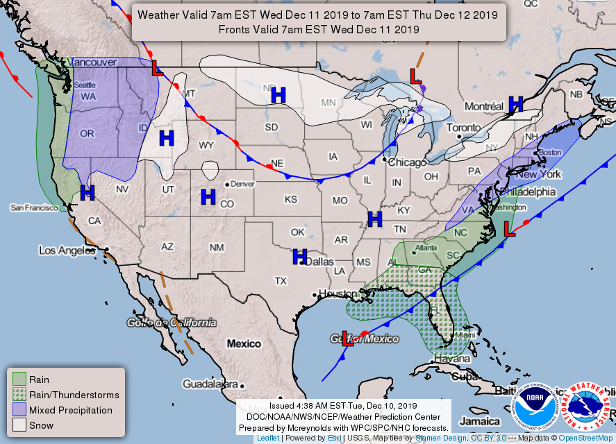
1- ENJOY the next few days with above average temps. Changes are coming with a chance for winter precipitation this weekend. Models are NOT in agreement on the type of precip and the actual path of the storm systems yet. Just take the time to make sure you are prepared for some winter-type weather this weekend. DON’T PANIC, JUST BE PREPARED.
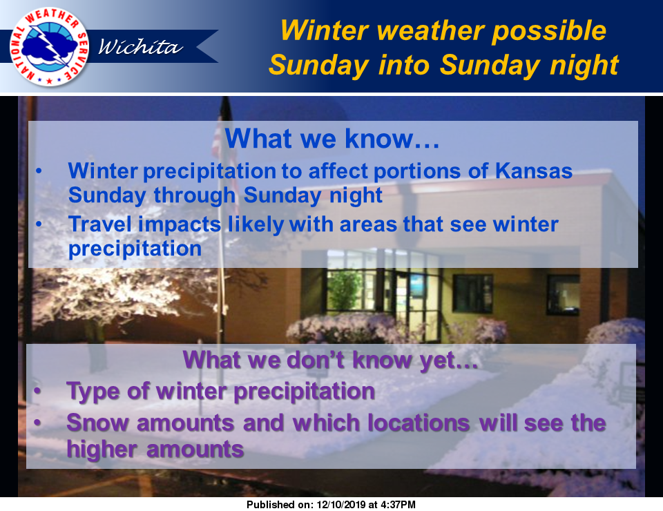
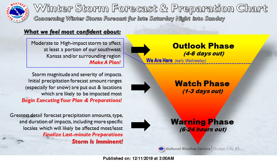
2- That said, when we are expecting storm systems in here that basically come out of Kansas, I am going to start including a few graphics from the NWS offices in Dodge City and Wichita. We are close enough to them that some weather info from their offices could benefit us here in the northern 2 tiers of counties. Remember the NWS/NORMAN is our primary but information from the other 2 offices can also benefit us, ESPECIALLY THEIR GRAPHICS! I read all of their information each morning too.
3- Until this weekend, the weather will be really nice and warm for this time of year. Get out and enjoy it if possible. ALSO, now is a good time to download our GARFIELD COUNTY EM emergency notification app. You are better prepared with it than without it. We test the app each Wednesday between 1130 and 1300 local time and I will add some more info concerning this weekend at that time. Also, with the winds increasing, so will the FIRE DANGER. Report any smoke or fire to 911 immediately.
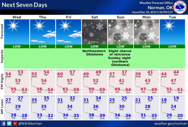
4- Here is your forecast for today from the NWS/NORMAN;
Wednesday- Sunny with a high near 53. South-southwest winds 5 to 15 mph gusting to 21 mph.
Wednesday Night-Partly cloudy, with lows around 36. South winds 15 to 25 mph.
HAVE A SUPER DAY!!
MIKE