0410L-WEDNESDAY OUTLOOK & INFO FROM GARFIELD COUNTY EMERGENCY MANAGEMENT-7/17/19
Make sure you download our GARFIELD COUNTY EM app. You’re NOT PREPARED without it!
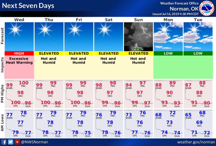
1- EXCESSIVE HEAT WARNING IN EFFECT FROM 11AM UNTIL 8PM TONIGHT. Dangerous heat conditions will exist today so be extremely careful out there and pace yourselves while working outdoors.
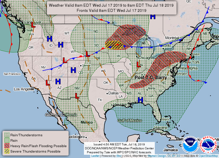
2- The thunderstorms that occurred yesterday did cause some wind damage east of Waukomis. If you have any damage from yesterday’s storms, please send those pictures to us preferably through the Damage Report part of our GARFIELD COUNTY EM APP. I ask you all to do this through the app so I have a better handle on the timestamps of the pictures. I will come out and verify pics sent to me. Thank you.
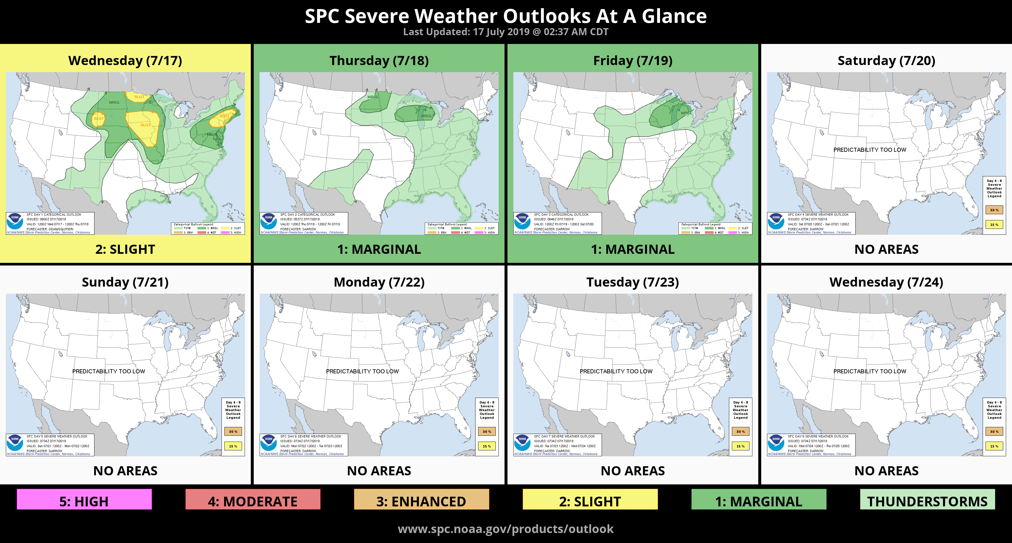
3- Here is your forecast from the NWS/NORMAN;
Wednesday- Sunny and hot with a high near 103. Heat index values as high as 112. South winds 10 to 15 mph, with gusts as high as 25 mph.
Wednesday Night- Clear with a low around 79. South winds 10 to 15 mph with gusts as high as 20 mph.
HAVE A SUPER DAY!!
MIKE