0315L-WEDNESDAY OUTLOOK FROM GARFIELD COUNTY EMERGENCY MANAGEMENT-6/1/22
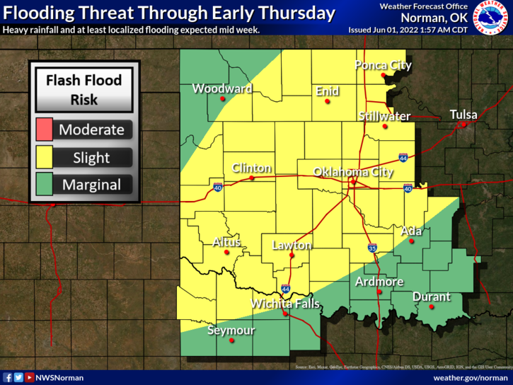
FLOOD WATCH CONTINUES UNTIL JUNE 2ND AT 0100 LOCAL TIME. Some areas in SW Oklahoma have received upwards of 3-5 inches of rainfall.
1- Here is your forecast from the NWS/NORMAN;
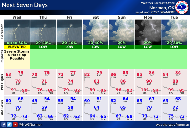
Today-Thunderstorms likely. Showers. Some thunderstorms may produce heavy rainfall. Cooler. Near steady temperature in the upper 60s. Northeast winds 10 to 15 mph with gusts up to 25 mph. Chance of rain 80 percent.
Tonight-Cloudy. A chance of showers and thunderstorms. Some thunderstorms may produce heavy rainfall in the evening. Lows in the mid-50s. North winds 10 to 15 mph. Chance of rain 50 percent.
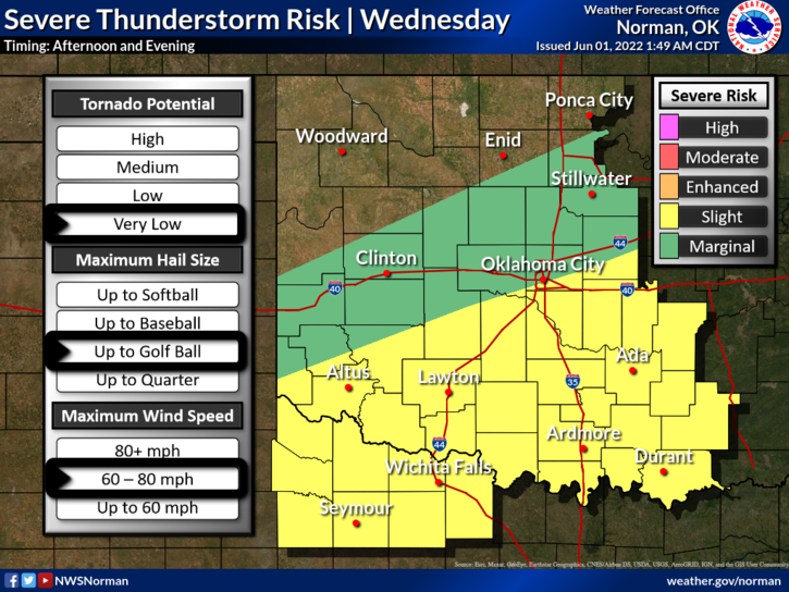
2- We are in a Marginal Risk for severe weather today. See graphic attached. We really lucked out on the heavy rainfall as the front was in a position to keep the precipitation south of us. We still have that chance for rain today and at times off and on through the rest of the week, but that appears to be low. The front will push into the southern half of the state by afternoon giving us a low chance for rain but we’ll have to see what happens as a storm system out west pushes in later today.
3- Overall, we’ll be ok so stay weather aware and we’ll advise as needed.
HAVE A GOOD DAY!