405L- WEDNESDAY OUTLOOK & INFO FROM GARFIELD COUNTY EMERGENCY MGMT-6/24/2020
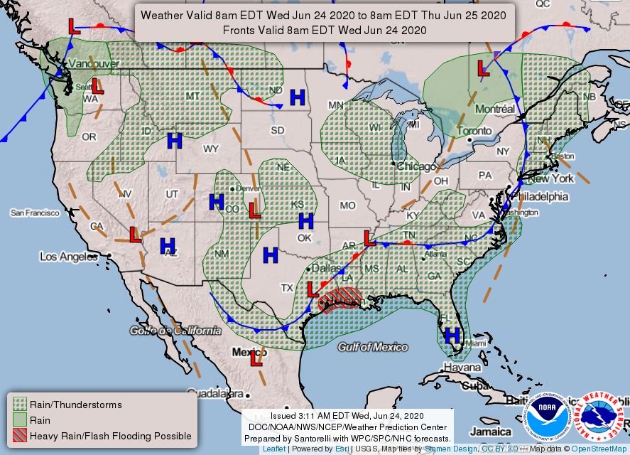
1- We are a GENERAL THUNDERSTORM risk area for today and again tomorrow. Chances for thunderstorms are less than 20% so get outside and enjoy but keep an eye out just in case. Overall, we’ll be ok. If any storms do occur, heavy rainfall, gusty winds, and lightning would be the main threats.
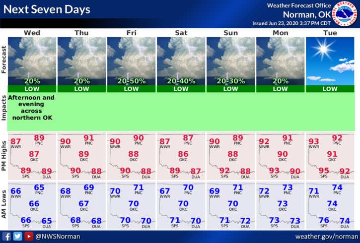
2- Here is your forecast from the NWS/NORMAN;
Wednesday-20% chance of showers and thunderstorms between 1pm and 4pm. Mostly sunny, with a high near 90. South wind 5 to 10 mph.
Wednesday Night-Partly cloudy, with a low around 68. South southeast wind 10 to 15 mph.
3- There are many folks doing controlled burns around the county. Continue to be vigilant and report smoke and or fire to 911 just in case. A quick response can limit potential damage if we are made aware soon enough. Thank you in advance.
HAVE A GOOD DAY!!
MIKE