0430L-WEDNESDAY OUTLOOK FROM GARFIELD COUNTY EMERGENCY MANAGEMENT 03/13/24
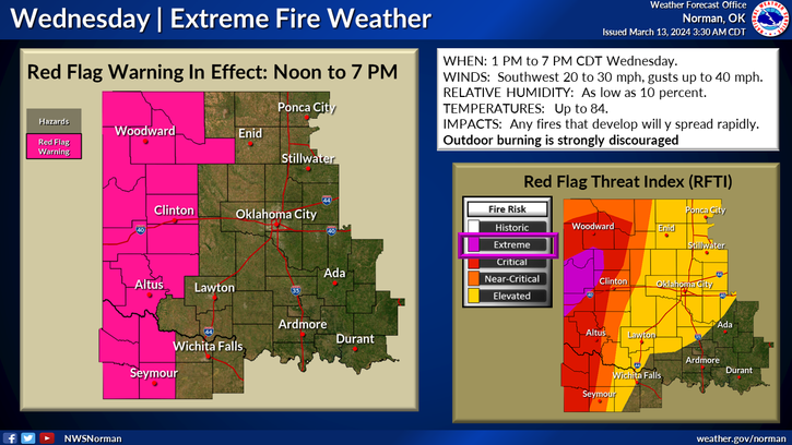
RED FLAG WARNING IN EFFECT for the western 2 tiers of counties including Major County. We are in an elevated area right now. This may change.
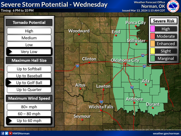
*Fire weather and thunderstorms, which will it be? It’s possible that neither may happen or they will. Boundaries and the timing involved has become a little complicated. We will see warmer temps and strong winds with some gusts upwards of 35 mph. Depending on where the dryline is later today will depend on whether we see thunderstorms here or watch them possibly develop to our east. This could go either way or not happen at all. The one thing that is prevalent is the fire danger. The cold front won’t push into the area until late tonight into Thursday morning.
*We ask again to not do any burning today even though winds are light this morning, they will increase dramatically by mid-morning and you all know the rest of the story. Humidity will be in the 20s so keep an eye out for smoke and fire and call 911 if you see any.
*Overall, we’ll be ok so hang in there. Here is your forecast from the NWS/NORMAN;
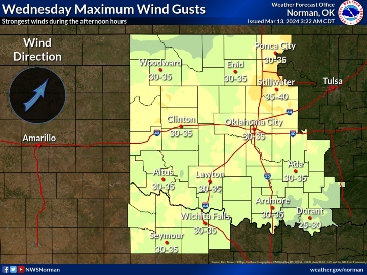
Today-Partly sunny this morning, then clearing. Breezy with highs in the lower 80s. Southeast winds 10 to 15 mph with gusts up to 25 mph, becoming south 15 to 25 mph with gusts up to 40 mph this afternoon.
Tonight- Mostly clear. Lows in the lower 50s. South winds 15 to 20 mph with gusts up to 30 mph.
HAVE A GOOD DAY!