0305L-WEDNESDAY OUTLOOK FROM GARFIELD COUNTY EMERGENCY MANAGEMENT-11/17/21
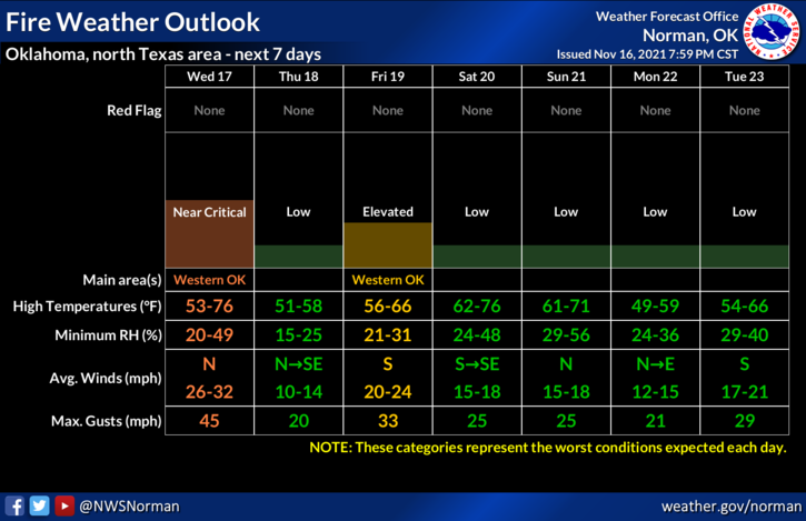
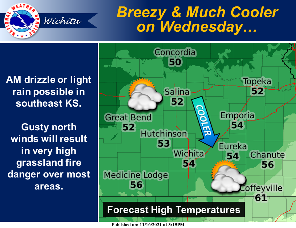
1- A cold front will be pushing through the area early this morning shifting winds from southerly to northerly. Winds will average 20-30 mph and it’s not out of the question that we may see a few gusts near 40 mph. The fire danger increases some today due to low humidity and strong winds but that threat is higher out west. Winds should die down some throughout the afternoon. Keep your eyes peeled for smoke and fire and call 911 if you observe any.
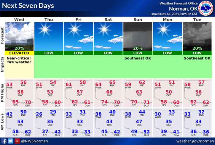
2- Other than the above, no rain in sight. We will drop below freezing tonight so make sure you disconnect your hoses from the house. Overall, we’ll be ok. Here is your forecast from the NWS/NORMAN;
Wednesday-Partly cloudy. Windy, cooler. Highs in the upper 50s. North winds 20 to 30 mph gusting to 39 mph.
Wednesday Night-Mostly clear. Colder. Lows in the upper 20s. North winds 10 to 15 mph.
HAVE A GOOD DAY!