0400L-TUESDAY OUTLOOK FROM ENID/GARFIELD COUNTY EMERGENCY MANAGEMENT (E/GCEM)-1/15/19
1) Sunshine with fairly light winds. Get outside and enjoy.
2) We will experience ups and downs with temps and cloudiness this week. Tonight and Wednesday night we could see some patchy drizzle. Low temps look like they will be above freezing. Just be careful.
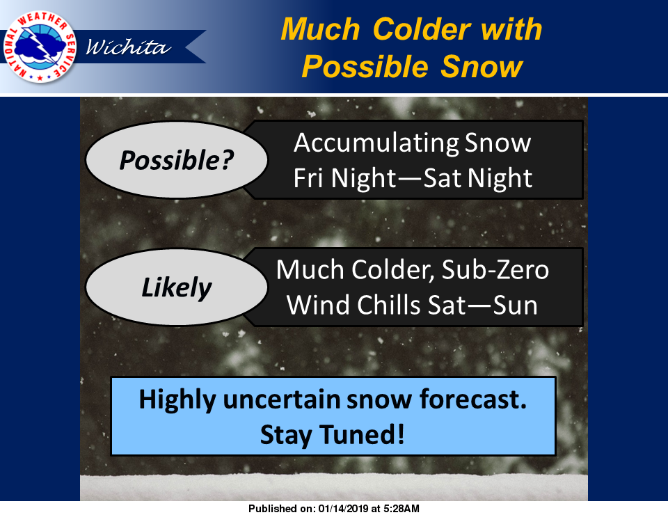
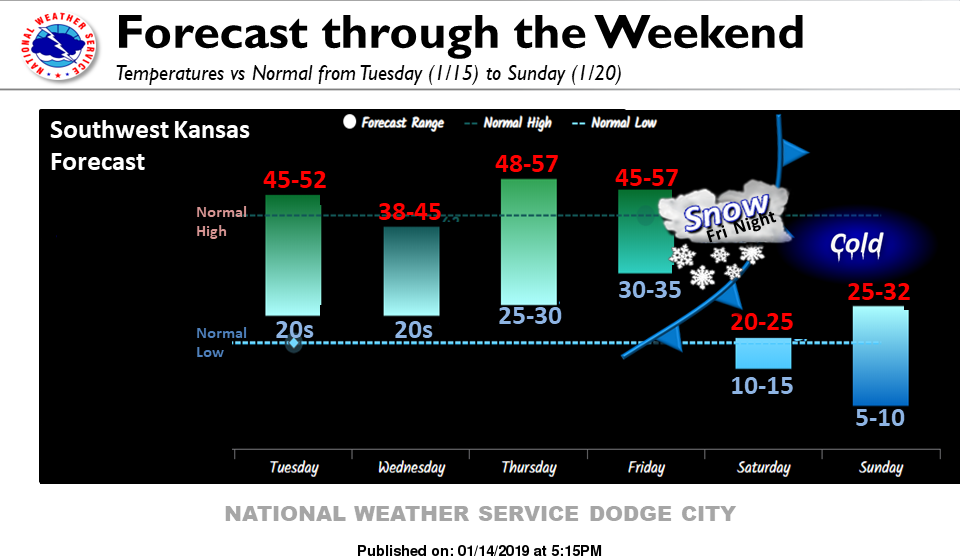
3) There is a lot being said about Saturday right now. We can expect DANGEROUSLY cold wind chill temps, MAYBE some snowfall- too early to tell how much if at all, and then extremely low temps overnight Saturday night. Many things will change between now and then EXCEPT the very cold temps and wind chills. As forecasts change and eventually verify, graphics will change too. Travel plans for this weekend need to be evaluated VERY carefully.
4) Fire danger still exists so be careful out there.
5) Here is your forecast from the NWS/NORMAN;
Tuesday- Areas of freezing fog before 9am. Sunny skies with a high near 54. South winds 5 to 10 mph.
Tuesday Night-Patchy drizzle after 3am. Mostly clear then becoming cloudy toward daybreak, with a low around 37 with light and variable winds.
HAVE A SUPER DAY!!
MIKE