0405L-SATURDAY OUTLOOK FROM GARFIELD COUNTY EMERGENCY MANAGEMENT-1/19/19
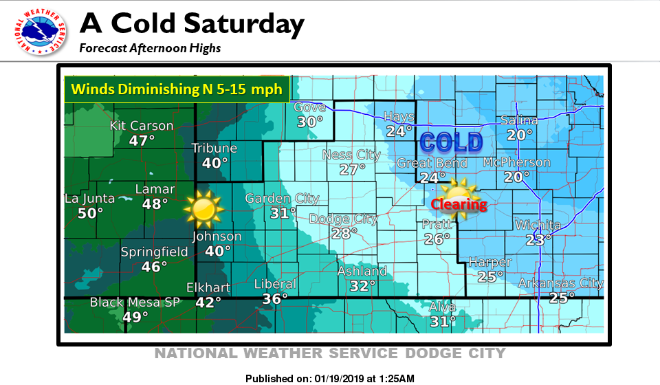
1) THE WIND ADVISORY HAS BEEN EXTENDED UNTIL NOON TODAY. THERE HAVE BEEN WIND GUSTS OVER 50 MPH OVERNIGHT. As stated yesterday, the winds and wind chill temps will be the main issues. EXTREME CAUTION is advised while outdoors.
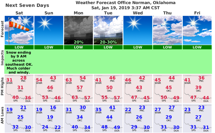
2) We may see some sunshine today and for those who hate today’s temps, Sunday should be the mid-40s. Winds will remain gusty out of the south as another storm system will affect us Tuesday into Wednesday. No snow as it looks right now.
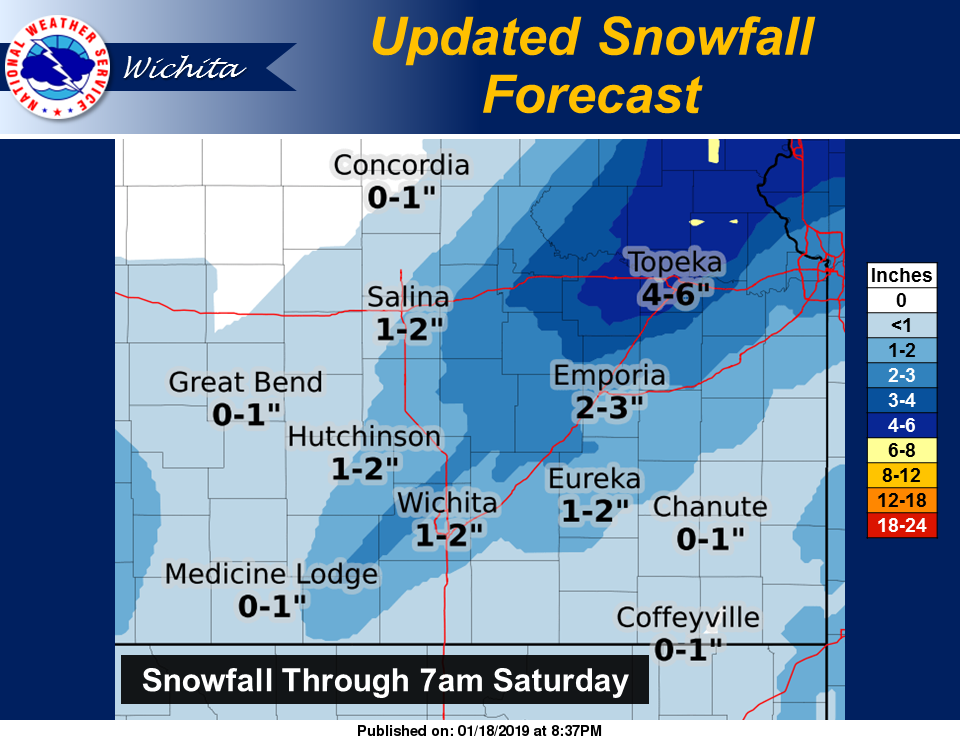
3) We received approximately ¼ inch of snow or so and some areas may have a little more. Snowdrifts don’t count. Either way, it will MOST LIKELY be gone tomorrow.
4) Here is your forecast from the NWS/NORMAN;
Saturday-Partly sunny, then gradually becoming sunny, with a high near 28. Windy, with a north northwest wind 23 to 28 mph decreasing to 16 to 21 mph in the afternoon. Winds could gust as high as 39 mph.
Saturday Night-Clear, with a low around 18. North wind 8 to 13 mph becoming light and variable.
HAVE A SUPER DAY AND STAY WARM!
MIKE