0355L-FRIDAY OUTLOOK FROM GARFIELD COUNTY EMERGENCY MANAGEMENT-4/9/21
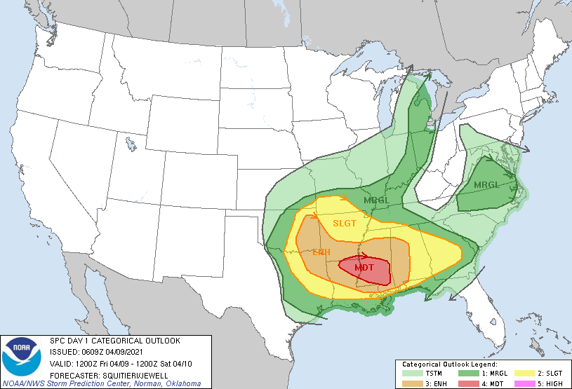
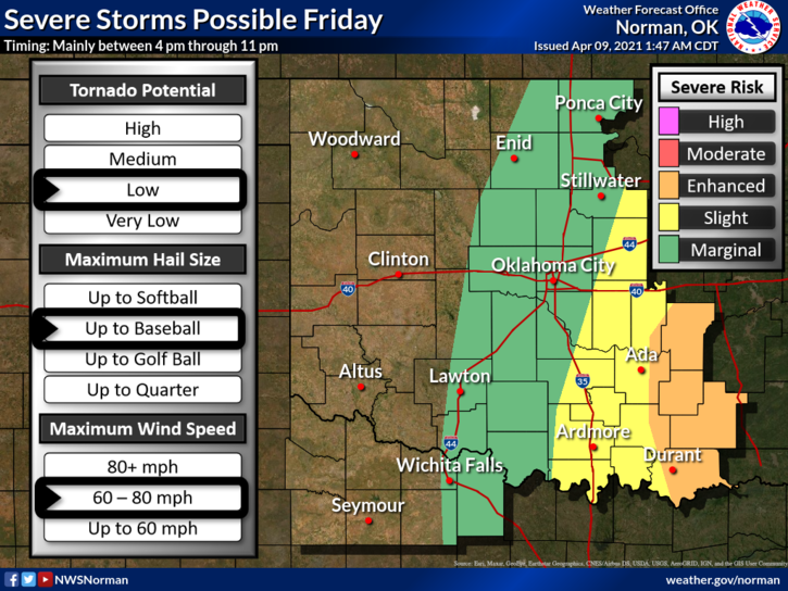
1-MARGINAL RISK for severe weather later today. The chance is low for us but it will be ENHANCED to our east. If you plan on traveling to the east or southeast, pay very close attention to weather outlooks and advisories. Tornadoes are expected in the eastern part of the state. See graphics.
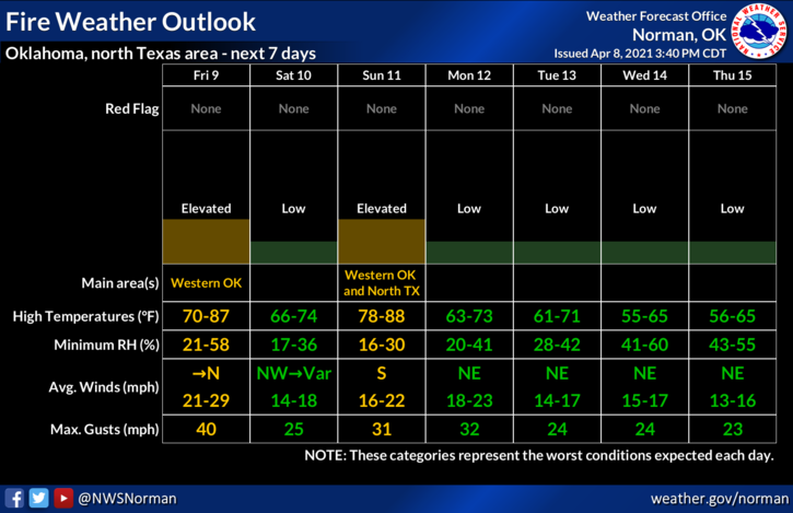
2- Out west, there will be a WIND ADVISORY from noon until 8pm this evening. We are on the border for ELEVATED FIRE WEATHER conditions. This said, continue to be very careful with anything related to fire and call 911 in the event you see smoke and fire.
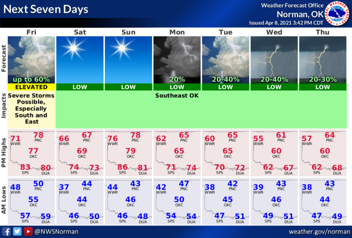
3- Here is your countywide forecast from the NWS/NORMAN;
Today-Increasing clouds. A chance of thunderstorms in the afternoon. Some thunderstorms may be severe. Highs in the mid-70s. Light and variable winds becoming north 15 to 25 mph in the afternoon. Chance of thunderstorms 50 percent.
Tonight-Clear, colder. Lows around 40. Northwest winds 15 to 25 mph.
HAVE A GOOD DAY!!
MIKE