0400L-FRIDAY UPDATE FROM ENID/GARFIELD COUNTY EMERGENCY MANAGEMENT-8/17/18
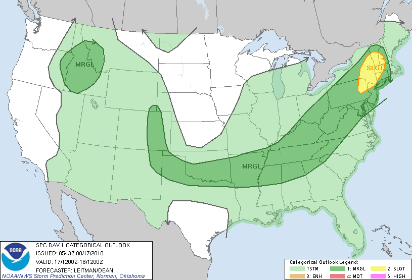
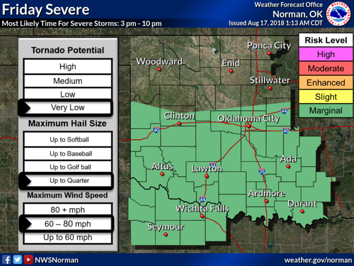
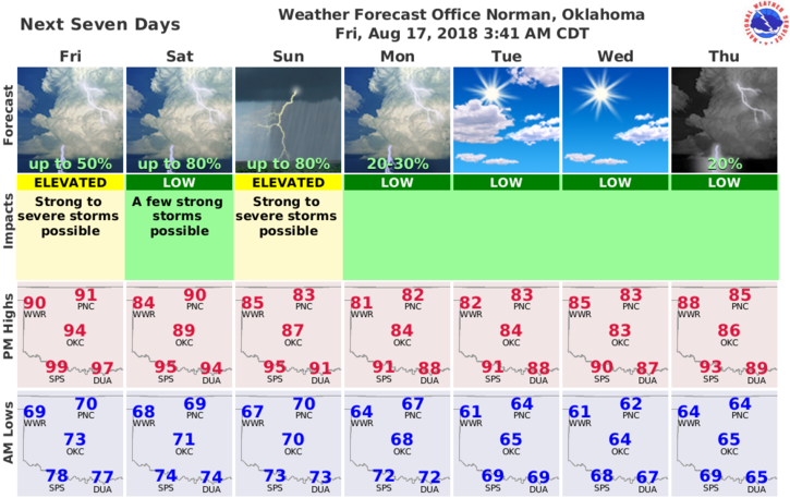
1-GENERAL RISK AREA TODAY FOR SEVERE WEATHER, MAINLY FOR TONIGHT BUT WE “MIGHT” SEE A FEW EARLY TODAY. SUNDAY, WE’LL BE IN A MARGINAL RISK. WE’LL SEE WHAT HAPPENS.
2- RISKS WITH ANY STORMS WILL BE MAINLY WINDS, TORRENTIAL RAINFALL, AND POSSIBLY SOME HAIL. OVERALL, WE’LL BE OK.
3-It will be a bit sultry outside today as temps will be in the low 90’s so pace yourselves if you work outside.
4- Yesterdays storms dumped a lot of water around the state including southeastern Garfield County. Be careful out driving around in that area as you may get stuck on some of those roads.
5-Here is your forecast from the NWS/NORMAN;
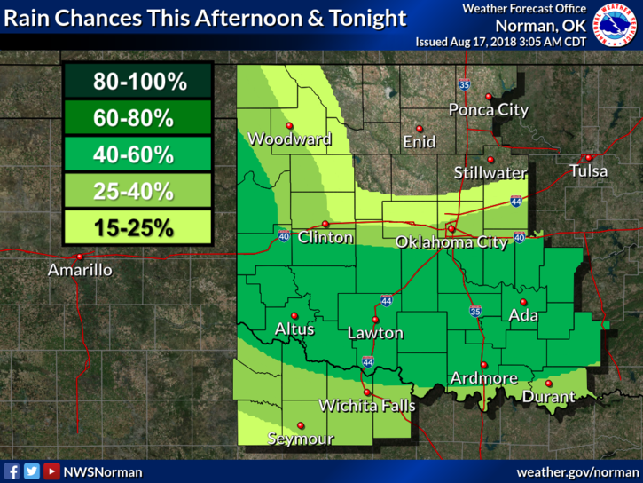
Friday-Partly cloudy. A slight chance of thunderstorms in the morning. Highs in the lower 90s. Northeast winds up to 10 mph. Chance of thunderstorms 20 percent.
Friday Night-Partly cloudy. A slight chance of thunderstorms in the evening. Lows in the lower 70s. Northeast winds around 10 mph in the evening becoming light and variable. Chance of thunderstorms 20 percent.
HAVE A GOOD DAY!!
MIKE