0340L-FRIDAY OUTLOOK FROM GARFIELD COUNTY EMERGENCY MANAGEMENT-8/20/21
Be sure to download our GARFIELD COUNTY EM app. You might need it today.
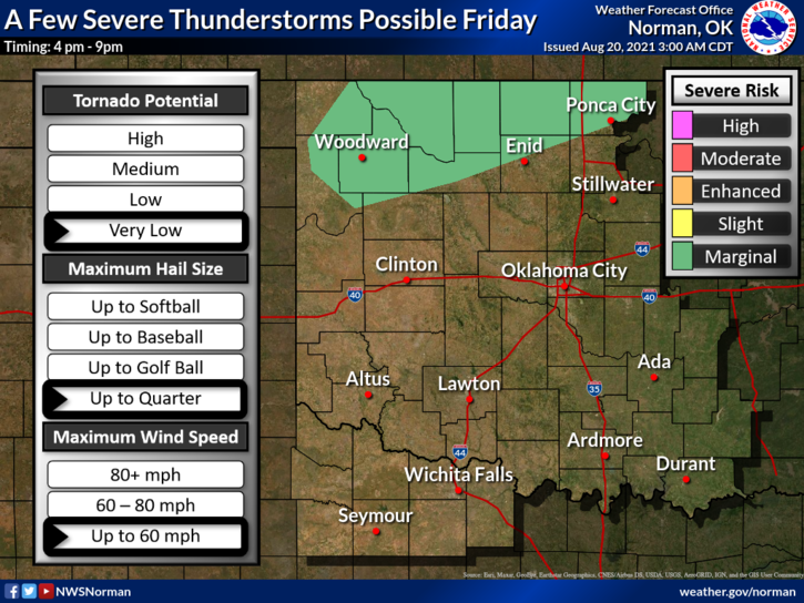
1- MARGINAL RISK FOR SEVERE WEATHER LATER TODAY. If storms do occur, our main threats will be torrential rainfall, quarter size hail, and strong winds. We’ll see what happens for sure as the day progresses.
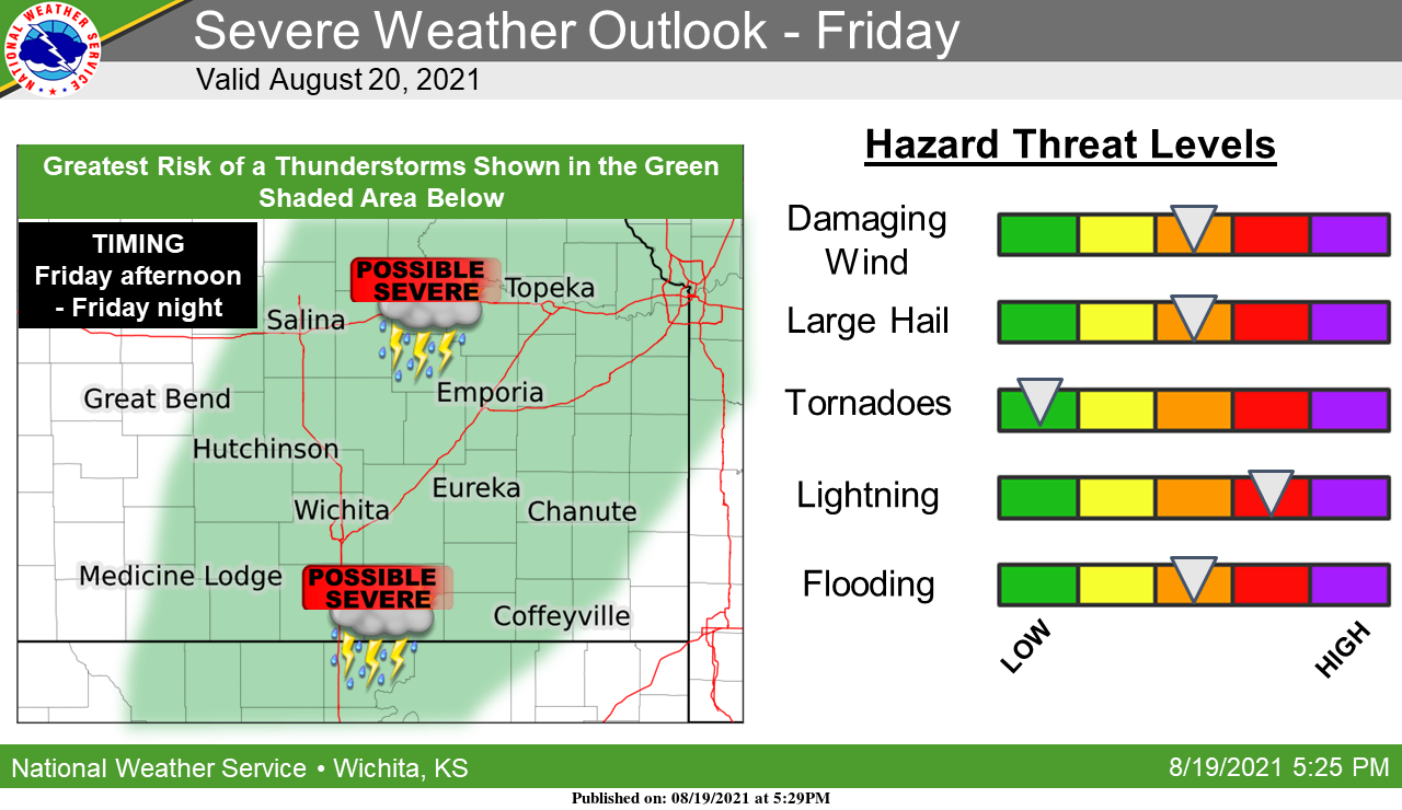
2- The above will be worse up in northeast Kansas and Nebraska as a dryline and cold front push through those areas as the day progresses. If you plan on traveling, pay very close attention to weather conditions up that way. The flood threat up there will be high so again, be careful if traveling that way.
3- The cold front will push into northwest Oklahoma later today but per guidance the farther south this comes, the chance for storms decrease. That said, just be prepared for storms if conditions change. Overall, we’ll be ok as the main energy of this system should remain north of us. We’ll watch and advise as needed.
4- Here is your forecast from the NWS/NORMAN;
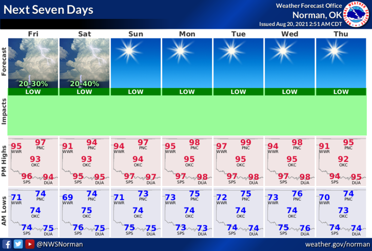
Today-Mostly sunny. Highs in the upper 90s. South winds 10 to 20 mph.
Tonight-Partly cloudy with a slight chance of thunderstorms. Lows in the lower 70s. South winds 10 to 20 mph with higher gusts. Chance of thunderstorms 20 percent.
HAVE A GOOD DAY!!
MIKE