0420L-FRIDAY UPDATE FROM ENID/GARFIELD COUNTY EMERGENCY MANAGEMENT-8/24/18
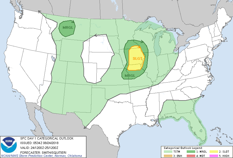
1- We are in a GENERAL RISK AREA for thunderstorms today and later tonight once again. We are experiencing showers right now at 3:40a.m. These will move away through the morning hours and this afternoon will become hot and a bit muggy.
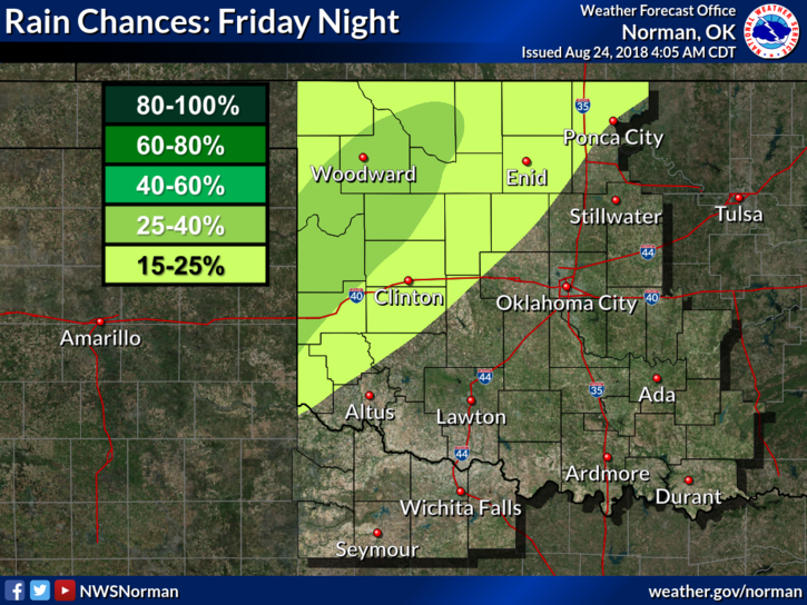
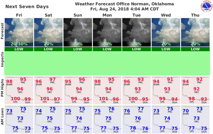
2-The weekend looks “mostly” hot and dry BUT there may be a “chance” for activity during the overnight hours. Overall, we’ll be ok so enjoy the sun, heat, wind, and possibly some rainfall. I think I have covered what may happen over the next few days.
3-This said, here is your forecast from the NWS/NORMAN;
Friday-Partly cloudy. A slight chance of showers and isolated thunderstorms in the morning. Highs in the upper 90s. South winds 10 to 15 mph. Chance of precipitation 20 percent.
Friday Night-Partly cloudy. Lows in the mid 70s. South winds 10 to 15 mph.
HAVE A GOOD DAY!!
MIKE