0400L-THURSDAY UPDATE FROM ENID/GARFIELD COUNTY EMERGENCY MANAGEMENT-8/23/18
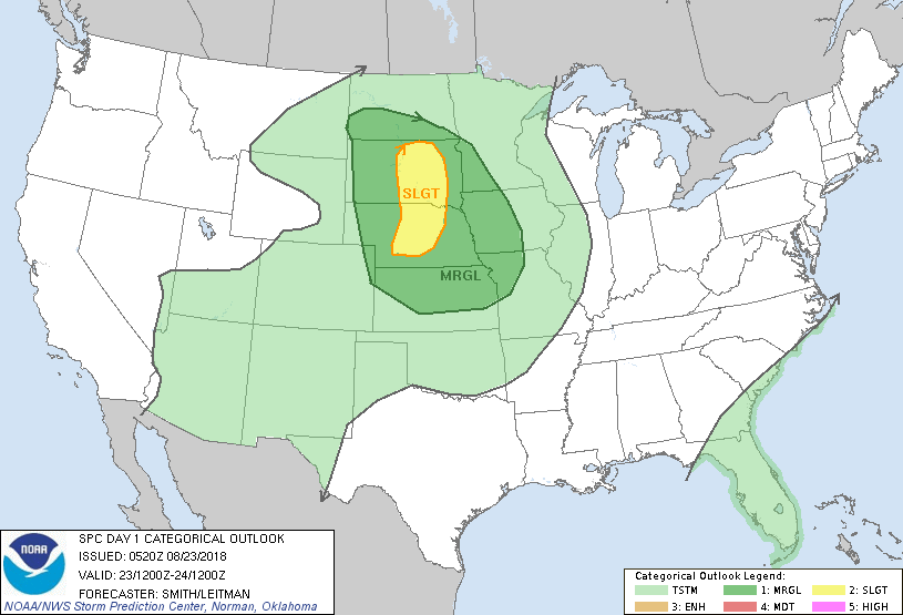
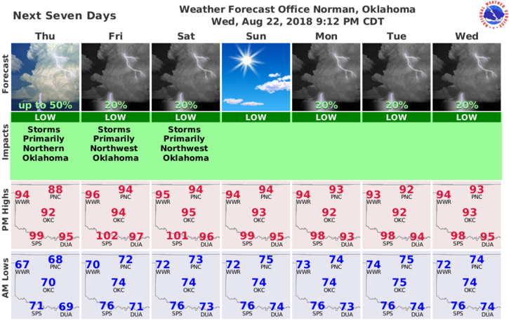
1-We are in a GENERAL RISK for showers and possibly thunderstorms today and tonight. Not enough room to type details but no need to worry right now. Most activity today SHOULD remain up north in Kansas. We will continue to be in this pattern another day or so then hopefully back to summer conditions.
2- We received around an inch of rainfall yesterday. I’m still wondering if this is early May or late August. It has been a VERY mild summer to say the least.
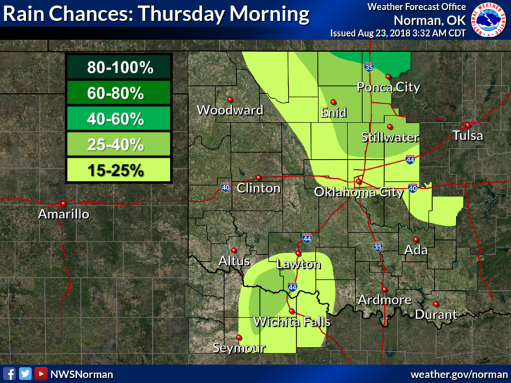
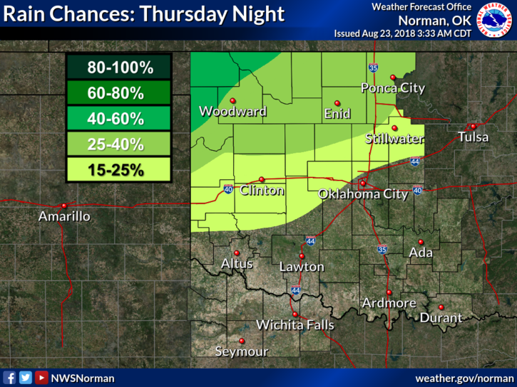
3-Here is your forecast from the NWS/NORMAN;
Today-Mostly cloudy with a chance of thunderstorms in the morning, then partly cloudy in the afternoon. Warmer. Highs in the mid 90s. South winds 10 to 15 mph. Chance of thunderstorms 40 percent.
Tonight-Partly cloudy. A chance of thunderstorms after midnight. Lows in the upper 70s. South winds around 15 mph. Chance of thunderstorms 30 percent.
FINALLY; I am waiting on one more verification from our 6th speaker for our 2nd Annual Disaster Resilience Seminar. You won’t want to miss this one. I will send out a detailed email on this next week but mark your calendars for OCTOBER 30TH FROM 9 TO 4 at Convention Hall. Again, all details next week.
HAVE A SUPER DAY!!
MIKE