0325L-FRIDAY OUTLOOK FROM GARFIELD COUNTY EMERGENCY MANAGEMENT-12/10/21
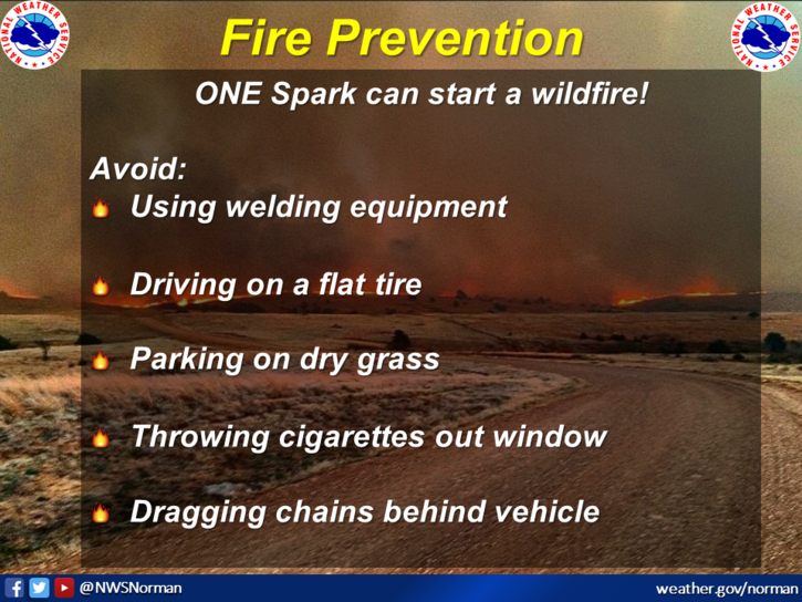
“RED FLAG WARNING” IN EFFECT FROM 10 AM UNTIL 6 PM THIS EVENING. SW WINDS 20 TO 30 MPH WITH GUSTS UPWARDS OF 50 MPH ARE POSSIBLE. IF YOU SEE SMOKE/FIRE, CALL 911 IMMEDIATELY SO THE PROPER RESPONSE CAN BE DISPATCHED.
1- TO FIRE PERSONNEL- Spread components this afternoon could exceed 100+ft/minute at times so a quick response will be crucial. Will advise on Fire Weather conditions at 1300L.
2- Weather-wise, windy, and warm so prepare for a lot of dust and hopefully no smoke in the air. Secure anything that could take flight at home and at work. Overall, we’ll be ok. Here is your forecast from the NWS/NORMAN;
Today-Partly cloudy in the afternoon. Windy. Highs in the upper 70s. South winds 15 to 25 mph with gusts to around 35 mph increasing to southwest 25 to 35 mph with gusts to around 45 mph in the afternoon.
Tonight-Clear, colder. Lows in the upper 20s. Northwest winds 20 to 25 mph with gusts to around 40 mph decreasing to 10 to 20 mph after midnight.
STAY SAFE!