FROM GARFIELD COUNTY EMERGENCY MANAGEMENT
If you go outside today, you will notice that it’s a bit cooler. We had a cold front move through the area and you will notice these cooler temps at least for the next 3 or 4 days. They will be up and down a few degrees but overall, cooler. The fire danger is still around even though we are cooler so report any smoke, fire, or any suspicious activity. There is a slight chance we may see some rain Sunday night and again late Tuesday but I am not holding my breath on those quite yet.
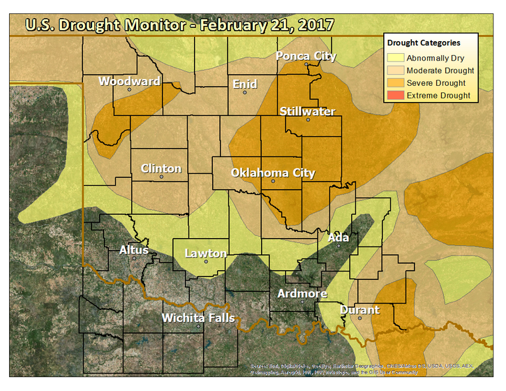
As you can see in the graphs that are attached, we are still in a moderate drought in the WNW 2/3rds of the county and a severe drought in the ESE part of the county. No burn bans are ongoing at this time but lighting a field on fire, which is called a controlled burn, is not advised.
Here is your forecast from the NWS/NORMAN;
Friday-Sunny, with a high near 46. Northwest wind 14 to 22 mph, with gusts as high as 31 mph.
Friday Night-Mostly clear, with a low around 24. North northwest wind 9 to 17 mph, with gusts as high as 24 mph.
HAVE A GREAT DAY!!
MIKE