0310L-FRIDAY OUTLOOK FROM GARFIELD COUNTY EMERGENCY MANAGEMENT-7/30/21
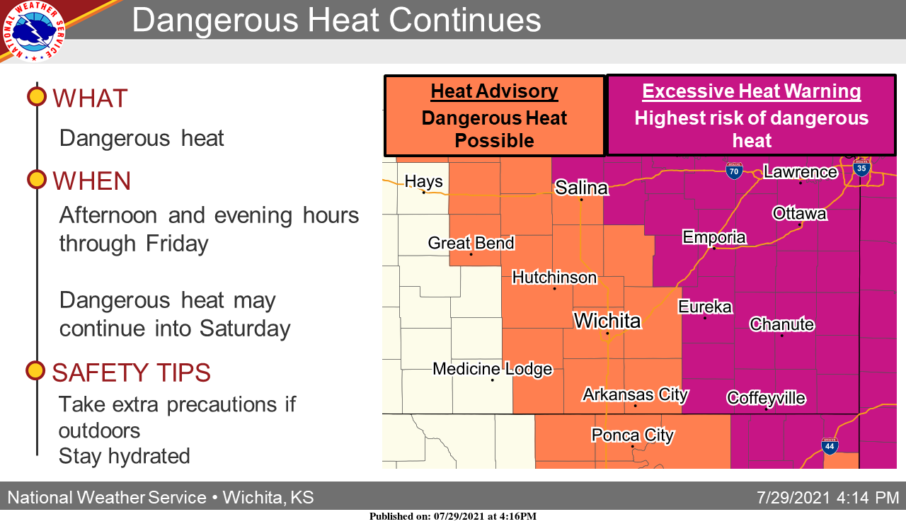
1- HEAT ADVISORY IN EFFECT FROM 12 NOON UNTIL 7PM TODAY. Continue to take the necessary precautions to protect yourself, your kids, and animals from the excessive heat.
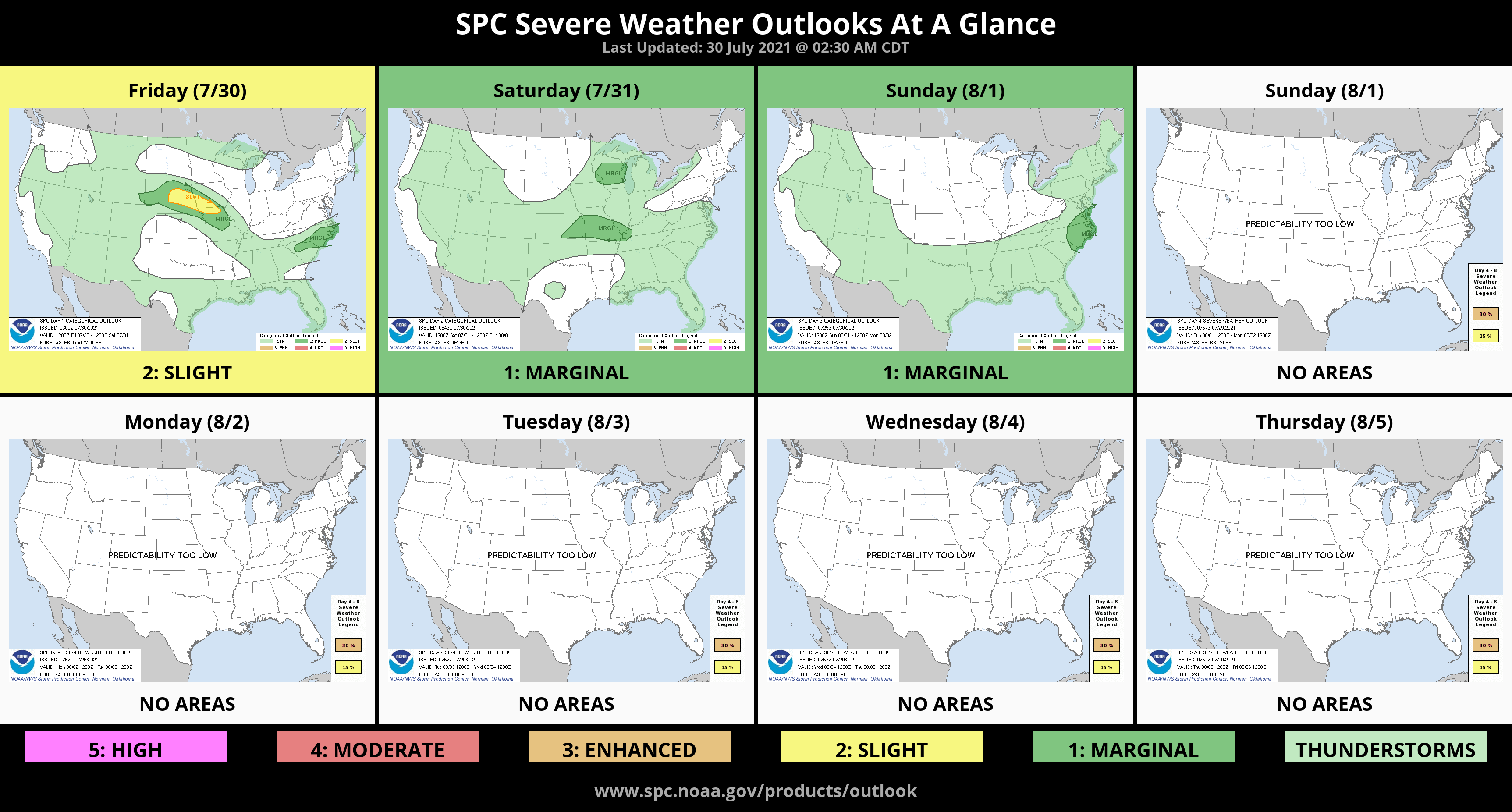
2- A cold front will make it’s way into the area late Saturday or early Sunday giving us a chance for thunderstorms. AT THIS TIME, “scattered” high based storms are expected giving us a wind and hail threat like we had earlier this week. We’ll see how all of this comes together. The one good thing about this front will be it’ll COOL things off a bit. Overall, we’ll be ok. Here is your forecast from the NWS/NORMAN;
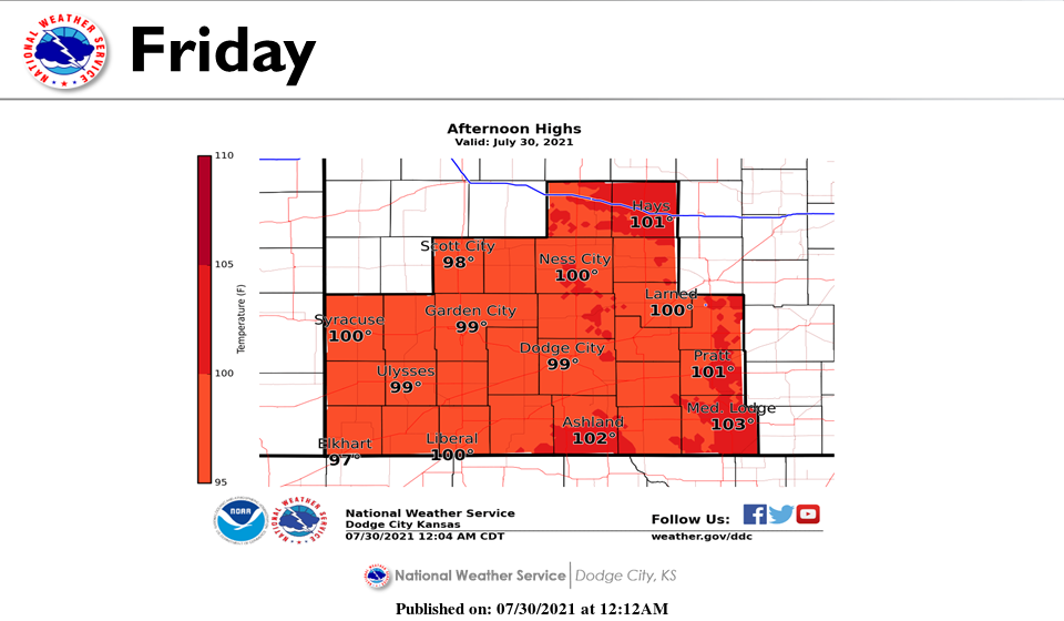
Friday-Sunny and hot, with a high near 100. Heat index values as high as 105. South southwest wind 10 to 15 mph.
Friday Night-Mostly clear, with a low around 74. South wind 10 to 15 mph.
HAVE A GOOD DAY!!
MIKE