0405L-FRIDAY OUTLOOK FROM GARFIELD COUNTY EMERGENCY MANAGEMENT-6/21/19
1-WELCOME TO SUMMER!! HEAT ADVISORY in effect from 1300L (1PM) UNTIL 1900L (7PM)
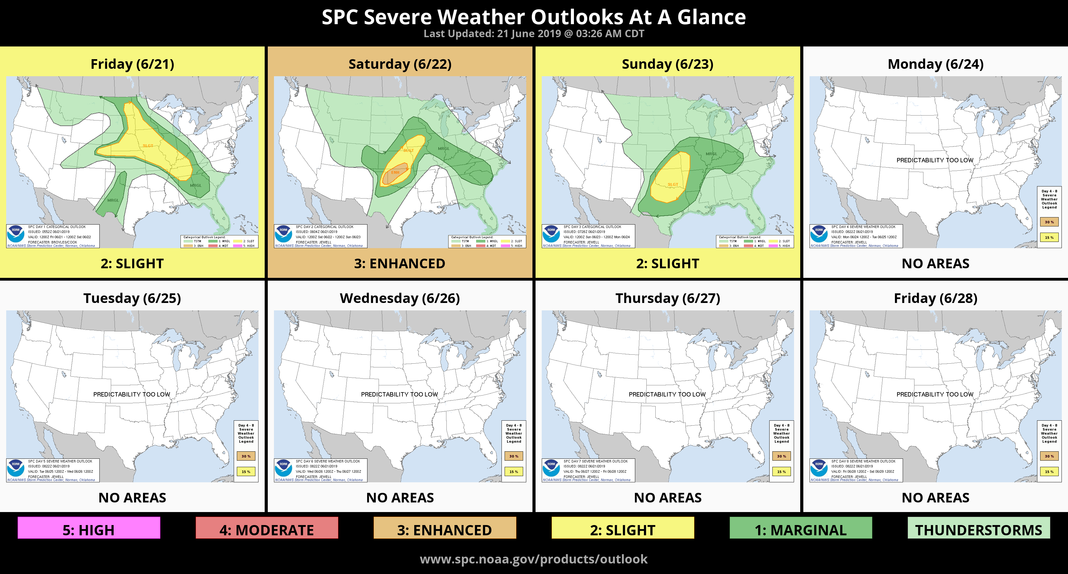
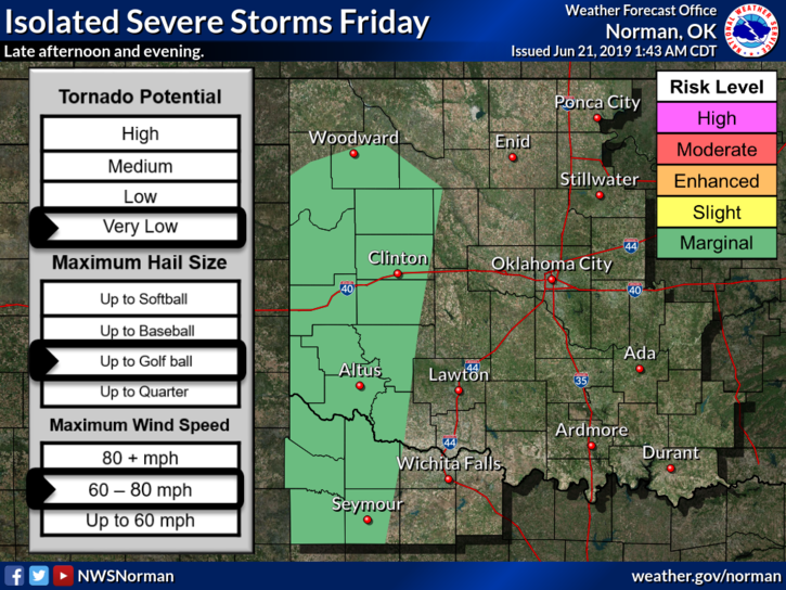
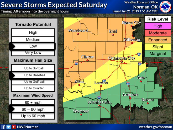
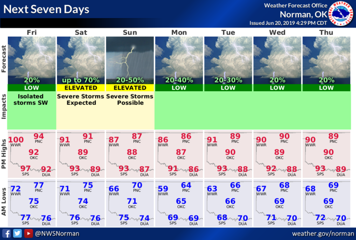
2-We remain under a GENERAL RISK for thunderstorms but with a strong inversion (cap) in place, those chances are very low. On Saturday, we’ll be in an Enhanced Risk and on Sunday, a Slight Risk per guidance right now. Be prepared for some heavy weather over the weekend.
3- Here is your forecast from the NWS/NORMAN;
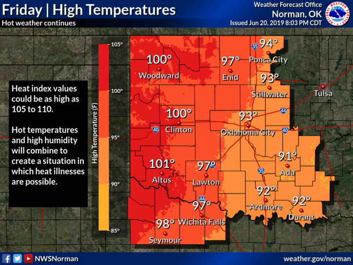
Today-Sunny and hot with a high near 97. Heat index values as high as 109. Windy, with a south wind 15 to 20 mph increasing to 21 to 26 mph in the afternoon. Winds could gust as high as 37 mph.
Tonight-Mostly clear, with a low around 75. South wind 15 to 18 mph, with gusts as high as 25 mph.
HAVE A GOOD DAY!!
MIKE