0430L-FRIDAY OUTLOOK AND INFO FROM GARFIELD COUNTY EMERGENCY MANAGEMENT-9/27/19
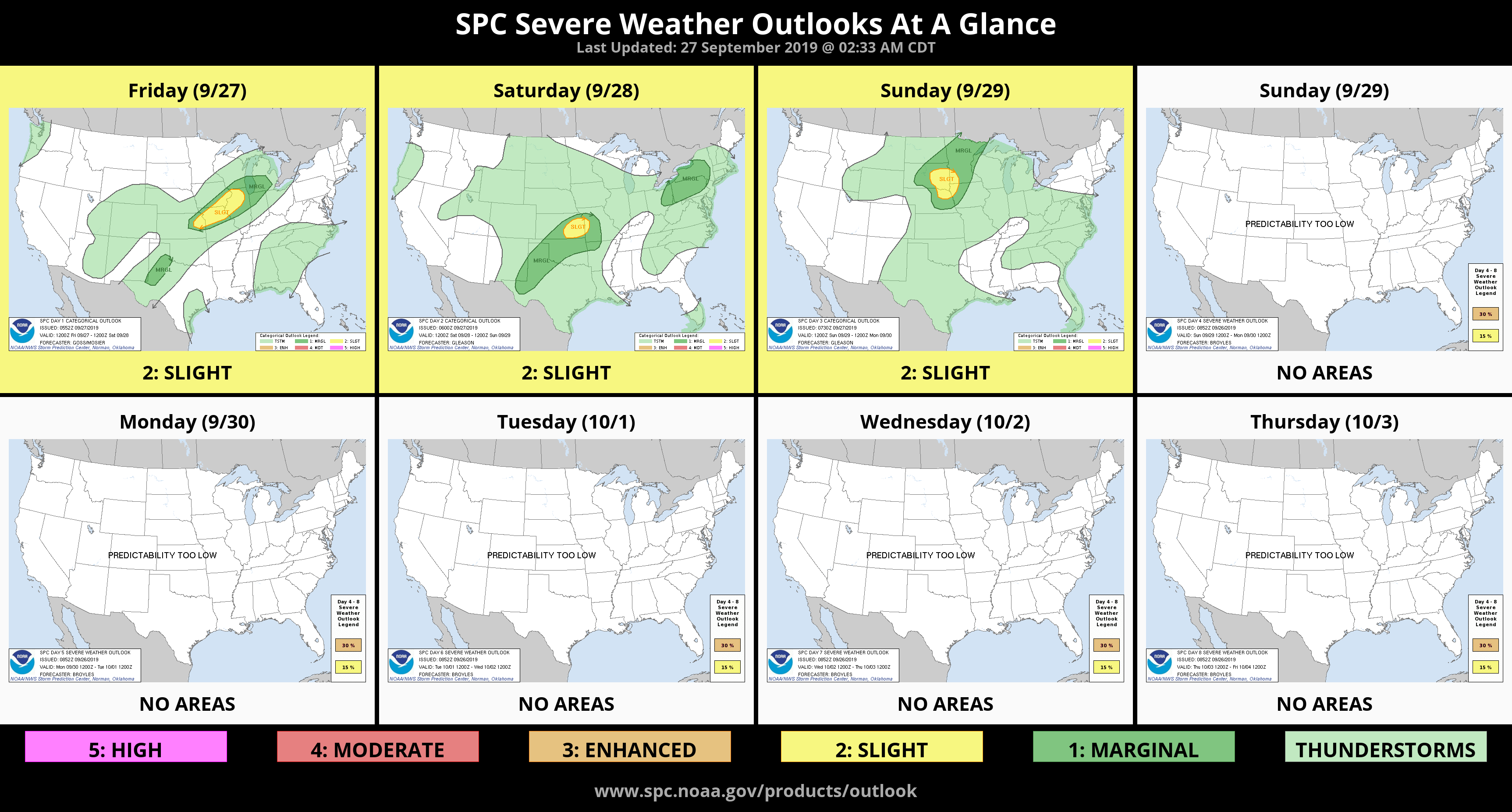
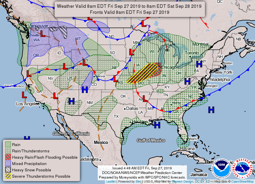
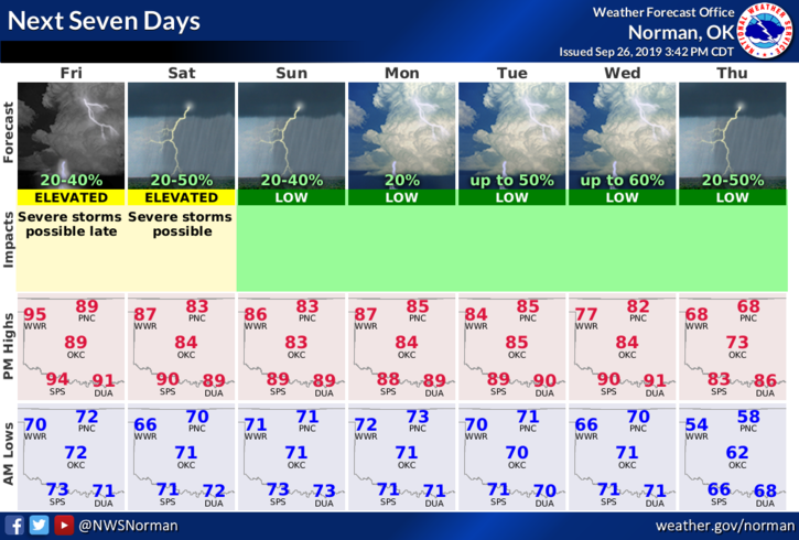
1- GENERAL RISK for thunderstorms later this evening and overnight. This may change so if it does, I’ll advise over the GARFIELD COUNTY EM app. There are many variables in this forecast so we’ll wait for later updates before committing to a set forecast.
2- Overall for today, hot and windy so welcome back to summer in the fall!!
3- As a reminder, if ANYONE has questions for me, text me directly or call as I don’t use messenger. I deleted it several months ago due to the scams and virus problems and as most of you know, I don’t live on social media. Thank you.
4- Here is your forecast from the NWS/NORMAN;
Friday- Mostly sunny with highs in the LOWER 90s. South winds 15 to 25 mph with a heat index in the UPPER 90s
Friday Night-Partly cloudy. 30% chance of thunderstorms in the evening and again after midnight. Lows in the upper 60s with south winds 10 to 15 mph gusting to 20 mph.
HAVE A GOOD DAY!!
MIKE