0400L-FRIDAY INFORMATION FROM ENID/GARFIELD COUNTY EMERGENCY MANAGEMENT-9/7/18
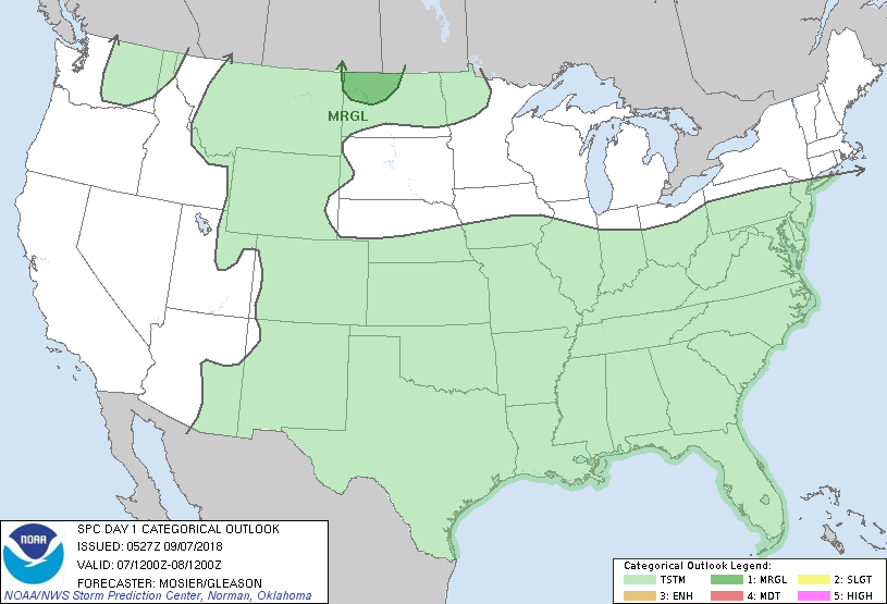
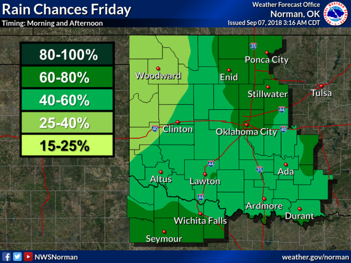
HEADLINE: RAIN will continue, sometimes heavy, causing localized flooding. Don’t worry, it will be ending in a day or so. Today, we are in a GENERAL RISK for thunderstorms.
1- One thing I haven’t stated is to tell the kids to stay out of the creek areas especially if the water is flowing very strong. Currents can cause one to slip and fall. Watch out for snakes and other critters that could cause medical issues.
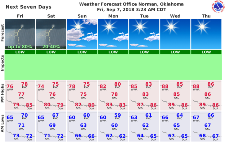
2-Overall, we will survive the rainfall and hopefully dry out some next week. We will see the sun again but the humidity may be oppressive for a few days. Hopefully the wind takes care of that.
3-Reminder concerning our Disaster Resilience Seminar on OCTOBER 30TH FROM 9-4. Put this on your calendars and I will have more details next week. This is something all safety minded people should attend. It is also OPEN to the public.
4- Here is your forecast from the NWS/NORMAN;
Today-Cloudy. Showers likely and isolated thunderstorms during the morning. A chance of showers and a slight chance of thunderstorms in the afternoon. Highs in the upper 70s. North winds around 10 mph. Chance of precipitation 70 percent.
Tonight-Cloudy. A chance of showers and isolated thunderstorms during the evening and overnight. Lows in the upper 60s. North winds around 10 mph. Chance of precipitation 30 percent.
HAVE A GREAT DAY!!
MIKE