0355L-MONDAY OUTLOOK AND INFO FROM GARFIELD COUNTY EMERGENCY MANAGEMENT-7/1/19
1-STORM SIREN TEST in Breckinridge and Enid today at noon. Remember that storm sirens are an “OUTDOOR” WARNING SYSTEM.
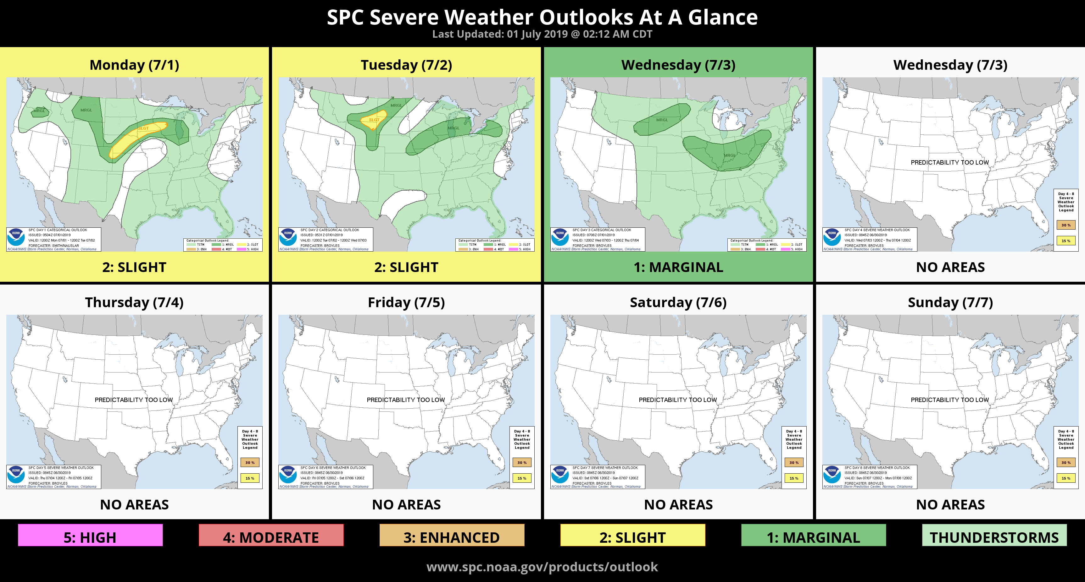
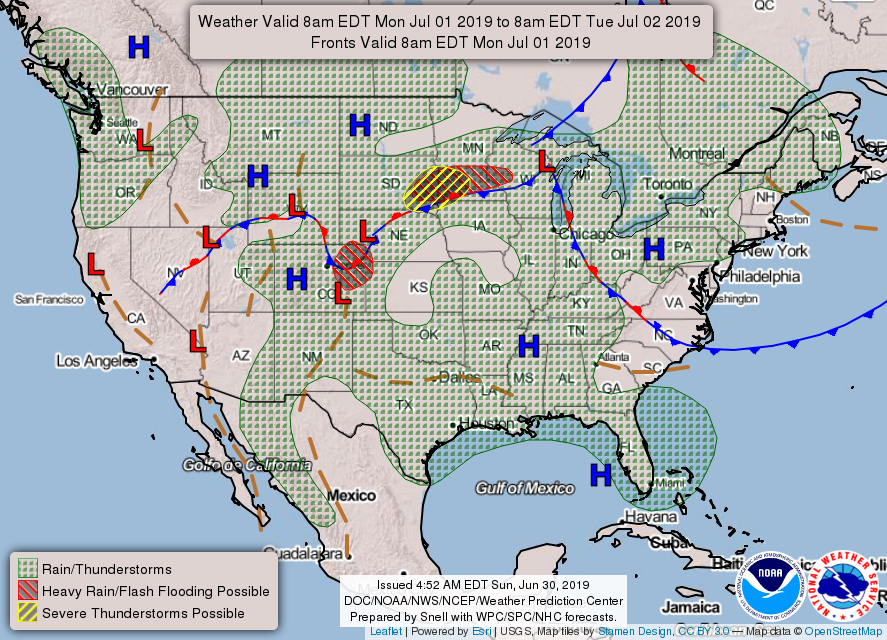
2- Warm and pleasant conditions will prevail for another day or so then thunderstorm chances arrive back in our forecast. As humidity increases, so will instability thus thunderstorms. When these occur, strong winds, lightning, and heavy rainfall will be the main threats. The pattern we’re in this week will mean that storms, if they occur, can happen anywhere in the region so just stay weather aware and we should be ok.
3- Make sure you have our GARFIELD COUNTY EM app. You’re NOT prepared without it.
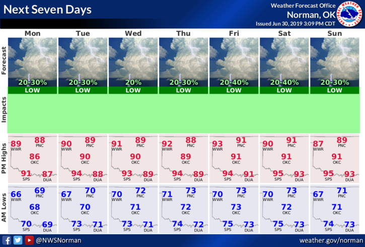
4- Here is your forecast from the NWS/NORMAN;
Monday-Partly cloudy. Highs in the lower 90s. South winds around 10 mph.
Monday Night-Partly cloudy. Lows in the upper 60s. Southeast winds around 10 mph.
HAVE A GOOD DAY!!
MIKE