0445L-MONDAY UPDATE FROM ENID/GARFIELD COUNTY EMERGENCY MANAGEMENT-4/30/18
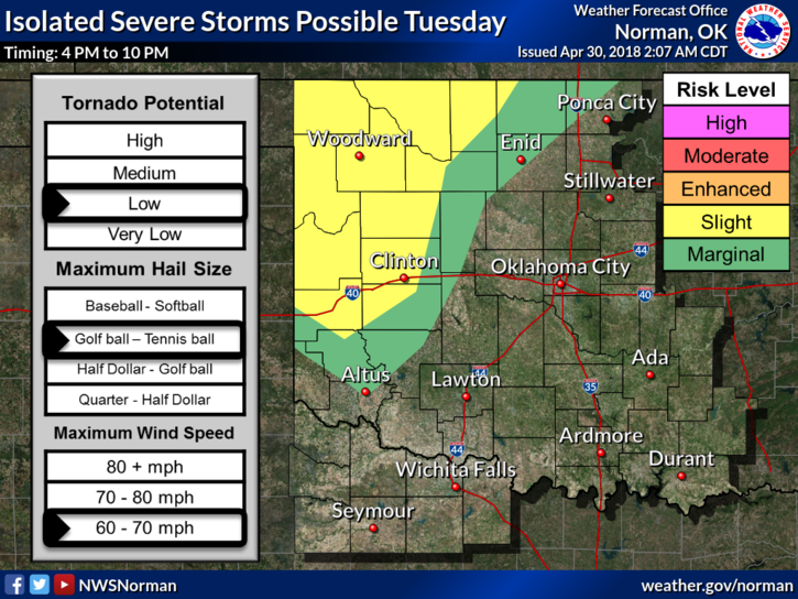
1-The weather will be interesting starting later today. We are in a MARGINAL RISK for severe wx tonight. It might happen then again it might not. Depending what happens in the TEXAS Panhandle later today, we may see some storms move into the area if the cap weakens above us. If it happens, hail and winds would be our threats.
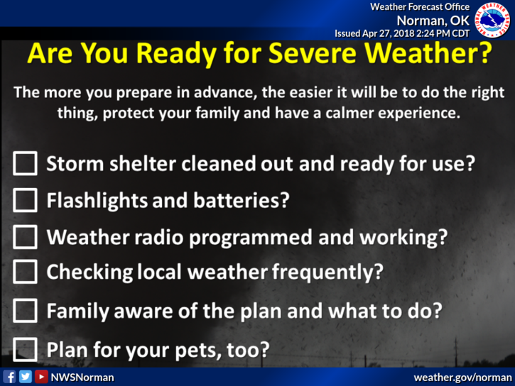
2-Tuesday, storms may get a little closer and then Wednesday is the day to pay extremely close attention to what is happening. I speak about preparedness all the time and now is the time to make sure you have a plan. I am not trying to scare anyone but you do need to have those details squared away in the event we do have any tornadic weather THROUGHOUT storm season.
3-We do have our own spotter network and they will be briefed this morning. Believe me folks, these people are the best and many have been with our group for over 20 years. We’ll activate them if needed and they’ll be placed on what we call stand-by alert status for the next several days, just in case. You can listen to our LOCAL radio stations 103.1 and 107.1 as we work very closely with them during these times. Also, make sure you have our GARFIELD COUNTY EM app. You will get “LOCAL” LIVE INFORMATION DIRECTLY FROM US. No one else’s app LOCALLY does this for you. Also, NWS WARNINGS automatically come through our app.
4-DON’T PANIC. You have plenty of time to make arrangements to prepare so sit back, take a deep breath and think this through. You’ll be ok. This should have been done over the winter but if you haven’t prepared, do so. You’ll breathe that sigh of relief when you know where and what you will do.
5- Here is your forecast from the NWS/NORMAN;
Monday-Increasing clouds, with a high near 79. South wind 16 to 24 mph, with gusts as high as 33 mph.
Monday Night-20 percent chance of showers and thunderstorms. Mostly cloudy, with a low around 64. South wind 20 to 22 mph, with gusts as high as 31 mph.
HAVE A SUPER DAY
MIKE