MONDAY UPDATE FROM ENID/GARFIELD COUNTY EMERGENCY MANAGEMENT-8/13/18
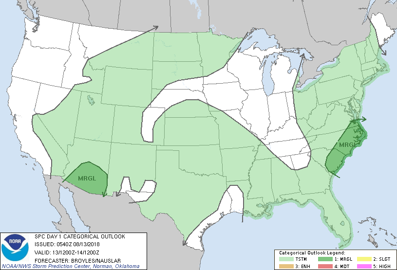
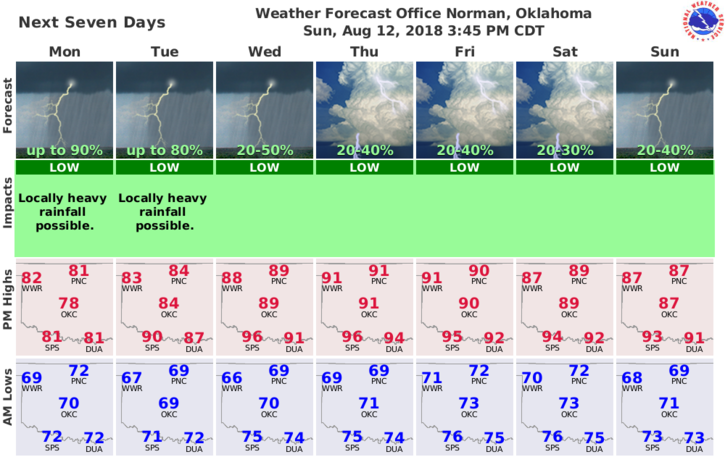
1-We are in a GENERAL RISK for showers and thunderstorms for a good part of the week. We can expect storms just about anytime today so make sure your umbrella works and keep it with you.
2- We aren’t expecting any severe weather but as stated in many of my past posts, any severe weather in this scenario would most likely be from collapsing storms putting out strong winds. Lightning may be a factor so be very careful. Outdoor activities should be monitored as again, lightning may be around. Just remember-IF YOU CAN HEAR THUNDER, YOU CAN BE HIT BY LIGHTNING.
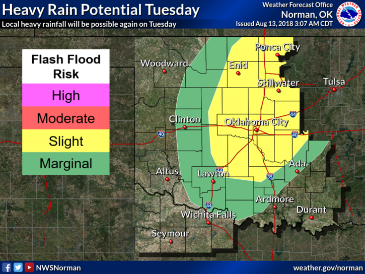
3-One more factor here is the rainfall. Storms won’t be happening all of the time. If you end up underneath one, expect very heavy rain which could cause flooding in low lying areas along with the normal areas that flood during thunderstorms. I won’t comment any further on this one.
4- Overall, temps will be below normal as long as we remain cloudy today. If we are overcast or it’s raining, there will be NO siren test today.
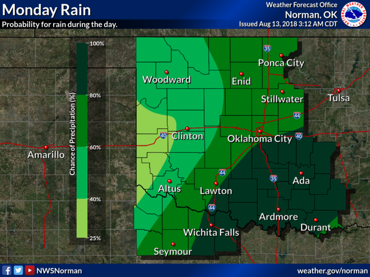
5- Here is your forecast from the NWS/NORMAN;
Today-Cloudy with showers likely and a chance of thunderstorms. Highs around 80. South winds around 10 mph. Chance of precipitation 70 percent.
Tonight-Mostly cloudy. A chance of thunderstorms in the evening, then a chance of showers and a slight chance of thunderstorms after midnight. Lows in the upper 60s. South winds around 10 mph. Chance of precipitation 50 percent.
HAVE A SUPER DAY!!
MIKE