0435L-SUNDAY UPDATE FROM ENID/GARFIELD COUNTY EMERGENCY MANAGEMENT-8/12/18
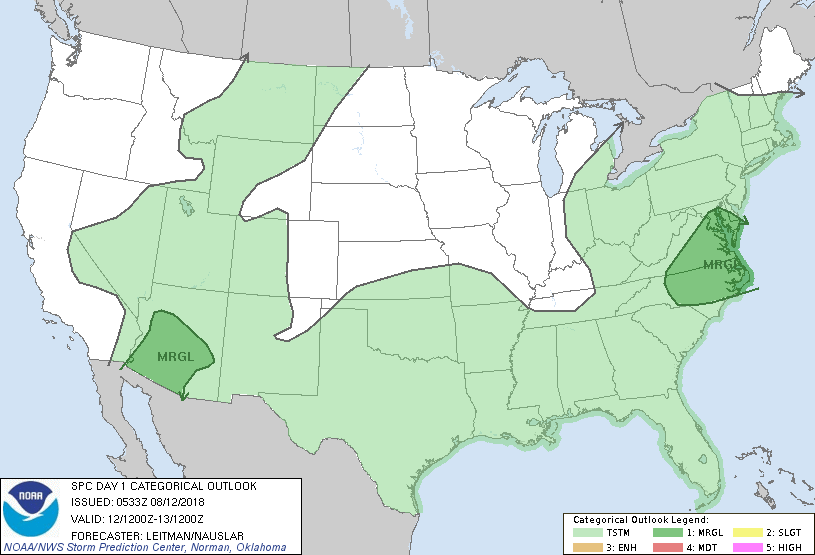
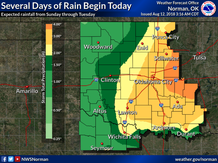
1- SEVERAL DAYS of rainfall will begin later today. Per the graph attached, we MIGHT see around 2 inches of rainfall through Tuesday evening. The chance for severe weather is low but we’ll watch and see.
2-If we receive the rainfall that’s forecast per guidance, there may be some low lying areas that may have flooding issues especially if rainfall occurs very quickly. Just stay aware if those conditions occur.
3-I will be attending the State Emergency Management conference this week but will be monitoring our weather from Norman. We’ll be ok so enjoy the rainfall when it occurs.
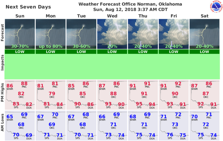
4- Here is your forecast from the NWS/NORMAN;
Today-Increasing clouds. Isolated thunderstorms early in the morning, then scattered thunderstorms in the late morning and afternoon. Highs in the upper 80s. Light and variable winds becoming southeast around 10 mph in the afternoon. Chance of thunderstorms 50 percent.
Tonight-Mostly cloudy. A chance of thunderstorms in the evening, then showers likely and a chance of thunderstorms after midnight. Locally heavy rainfall possible after midnight. Lows around 70. Southeast winds around 10 mph in the evening becoming light and variable. Chance of precipitation 60 percent.
HAVE A GREAT DAY!!
MIKE