0425L-MONDAY UPDATE FROM ENID/GARFIELD COUNTY EMERGENCY MANAGEMENT-8/27/18
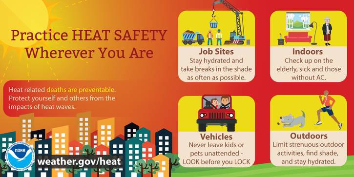
1-Enjoy the heat for a few more days and hang on as the winds will be up there once again.
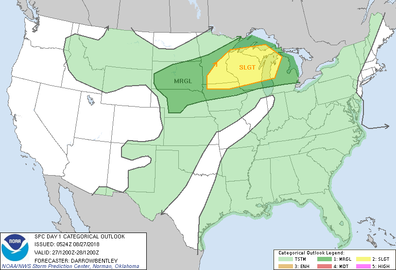
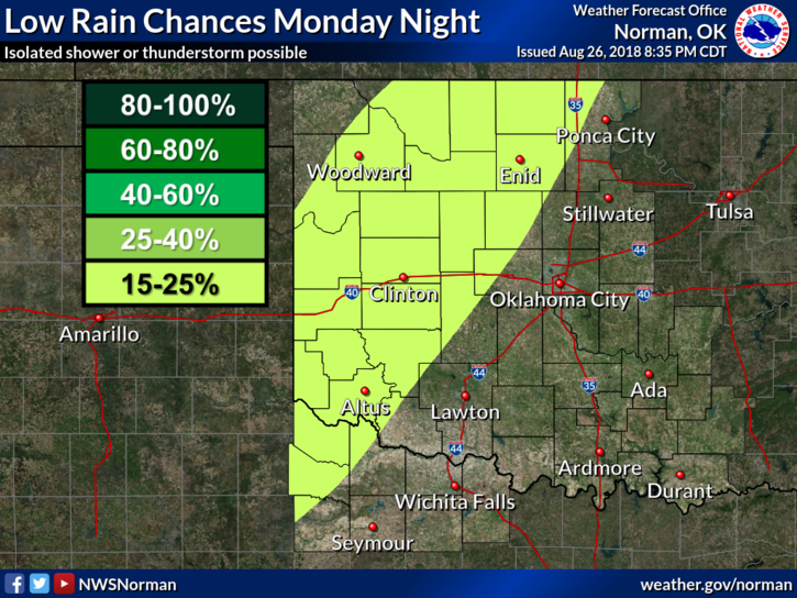
2- We are in a GENERAL RISK for thunderstorms later today into the overnight hours and this trend will continue for a few days. There will be a cold front push into the area late Tuesday night into Wednesday and temps on Wednesday may be in the 80’s. We’ll see how that works out. Timing is always an issue, so we’ll see how future updates look and go from there.
3- That said, here is your forecast from the NWS/NORMAN;
Monday-Mostly sunny. Highs in the upper 90s. South winds 15 to 25 mph.
Monday Night-Partly cloudy with a slight chance of thunderstorms. Lows in the upper 70s. South winds 15 to 20 mph. Chance of thunderstorms 20 percent.
4- BE SURE AND DOWNLOAD OUR “GARFIELD COUNTY EM” APP- you’re not prepared without it.
HAVE A GREAT DAY!!
MIKE