0350L-MONDAY OUTLOOK & INFO FROM GARFIELD COUNTY EMERGENCY MGMT-12/16/19
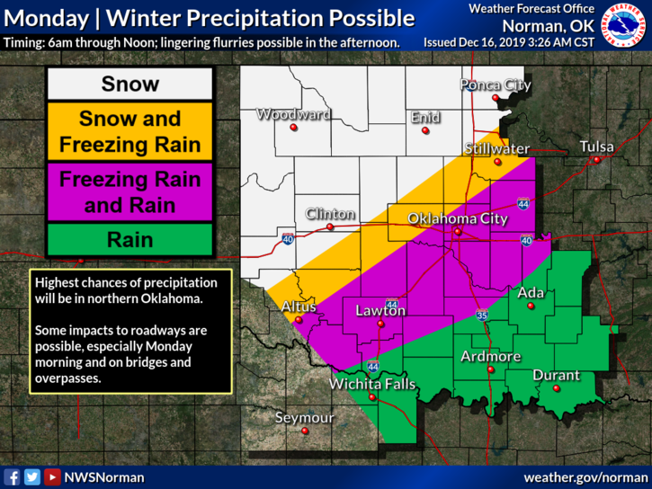
1-WINTER WEATHER ADVISORY IN EFFECT UNTIL NOON TODAY. YES, there is still a possibility we may see a mixed bag of precipitation. For us, we “may” see some freezing drizzle along with sleet and it’s become a lesser possibility for snow. We’ll see what happens for sure as the morning progresses.
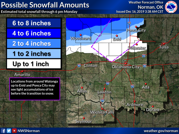
2- We will be hovering around freezing today and graphical forecasts show a lower chance for any snow but a better chance for freezing rain/sleet. If any snow does occur, it should be light. If any of this precip occurs roads may become slick so slow down out there.
3- As stated, we’ll see what happens. Here is your forecast from the NWS/NORMAN;
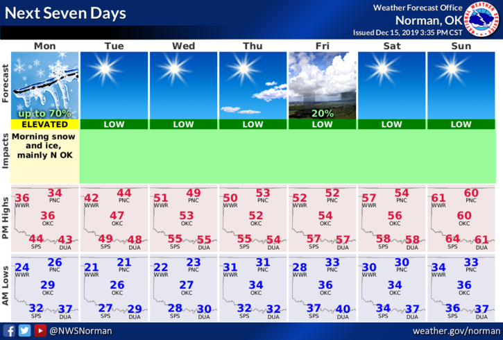
Monday-Snow likely mainly before noon. Cloudy with a high near 34. North wind 10 to 14 mph, with gusts as high as 20 mph. Chance of precipitation is 60%. New snow accumulation of around an inch possible.
Monday Night-Partly cloudy, with a low around 21. Northwest wind 6 to 9 mph.
HAVE A GOOD DAY AND DRIVE SAFELY.
MIKE