0400L-SUNDAY OUTLOOK & INFO FROM GARFIELD COUNTY EMERGENCY MGMT-12/15/19
1- Winter weather, freezing mist/drizzle, & possibly rain, will affect the area off and on today and increase in intensity tonight. If you plan on traveling, especially north, keep up with the latest weather info from those areas NWS OFFICE’S. Here is a link to many of them around the region: https://gcem.org/links/
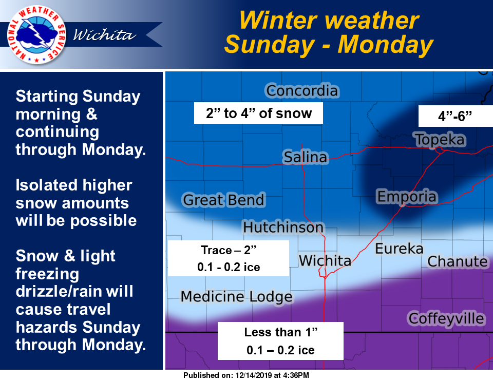
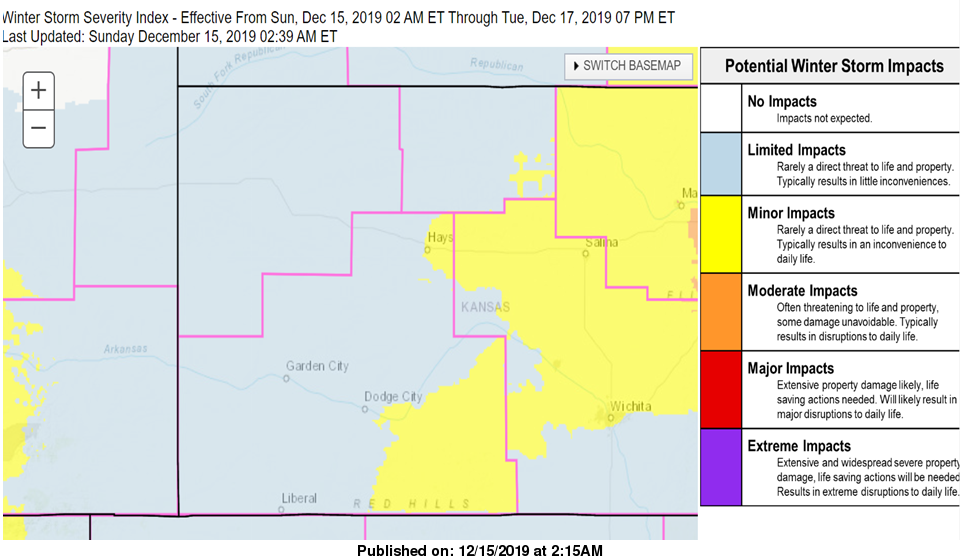
2- Overall, we’ll be ok. I am including graphics from Wichita and Dodge City this morning. Also, our chances for freezing precip occur from now until roughly mid-morning as temps rise above freezing then later today say early evening as temps fall below freezing we’ll have that better chance for freezing rain and then snow by early Monday morning. Per NWS guidance, impacts from this system looks to be minimal.
3- Be sure and get our GARFIELD COUNTY EM app. It will come in handy as winter advisories and warnings are issued. If you do travel, slow down and watch out for ice especially on bridges and overpasses.
4- Here is your forecast from the NWS/NORMAN including Monday;
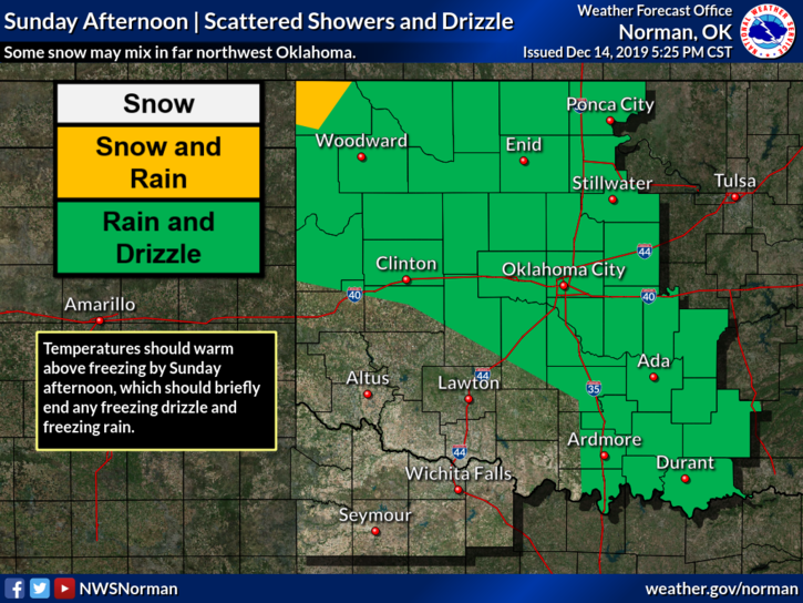
Sunday- 50% chance of rain showers and patchy very light freezing drizzle in the morning, then a chance of rain showers in the afternoon. Highs in the upper 30s with Northeast winds around 10 mph.
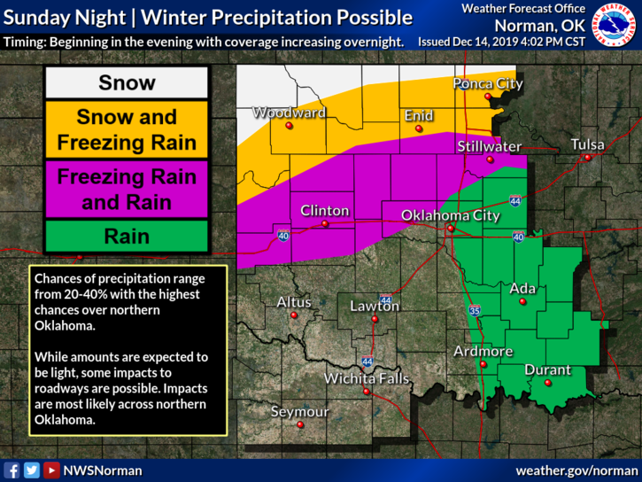
Sunday Night- A slight chance of rain, light freezing rain and snow in the evening, then a chance of light freezing rain after midnight. Lows in the mid-20s. North winds around 10 mph. Chance of precipitation 40 percent.
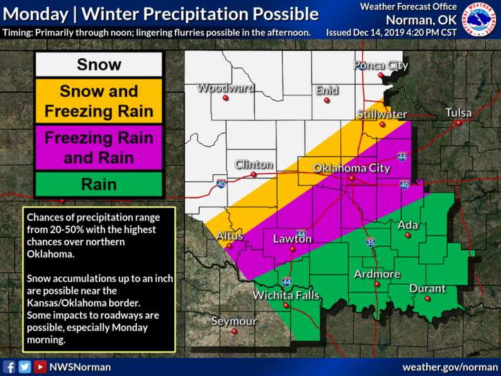
Monday-Mostly cloudy with a chance of snow. Highs in the upper 30s. North winds 10 to 15 mph. Chance of snow 40 percent.
NWS/NORMAN graphics weren’t updated at the time of this post.
HAVE A GREAT DAY AND BE CAREFUL!!
MIKE