0320L-MONDAY OUTLOOK FROM GARFIELD COUNTY EMERGENCY MANAGEMENT-12/06/21
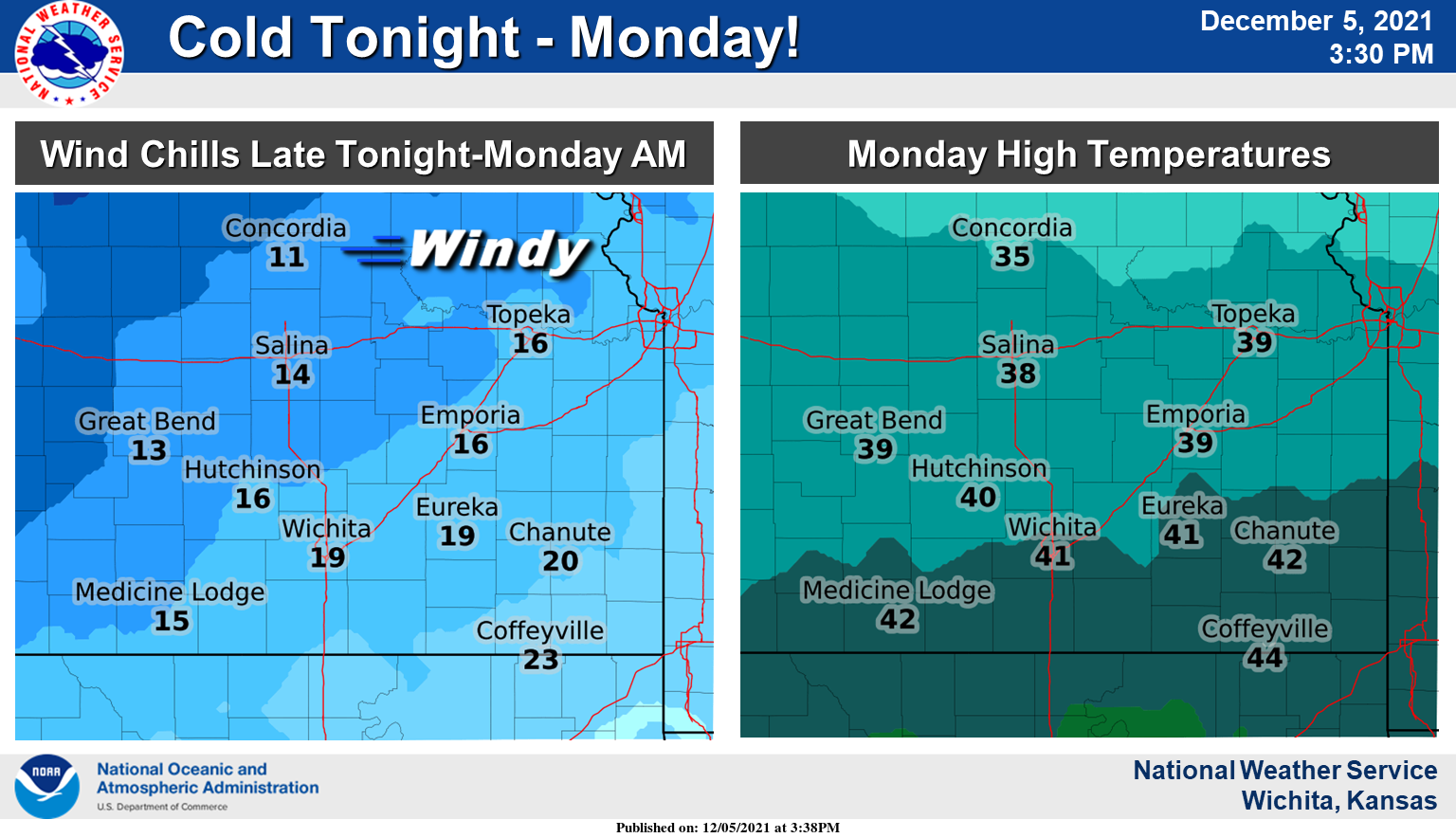
1- COLDER AIR HAS ARRIVED! WE WILL BE WINDY AND A LOT COLDER TODAY. WIND CHILL TEMPS COULD BE IN THE TEENS AND LOWER 20s THIS MORNING. Extreme caution is advised. Bundle up the kids if they have to be outside for a while today. Adults should take the same precautions.
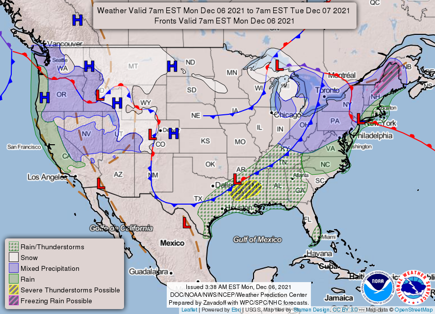
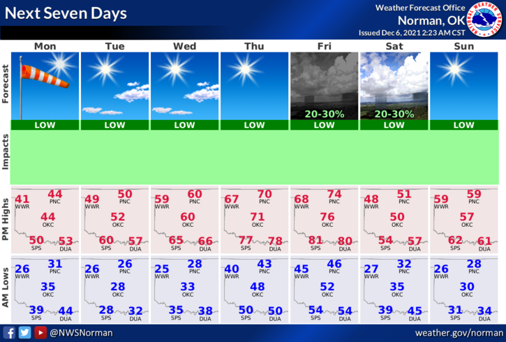
2- NO RAIN IN SIGHT so be extremely careful while utilizing anything related to fire. We will have several fronts push through the area this week but all of them look dry right now. We will warm back by the weekend so until then, keep a coat handy. Here is your forecast from the NWS/NORMAN;
Today-Sunny. Much colder. Highs in the mid-40s. North winds 10 to 20 mph. Gusts up to 35 mph in the morning.
Tonight-Mostly clear. Lows in the lower 20s. Light and variable winds becoming southeast around 10 mph after midnight.
FINALLY: Be sure to download our GARFIELD COUNTY EM app. It just could save your life!
STAY SAFE AND WARM!