0350L-MONDAY OUTLOOK FROM GARFIELD COUNTY EMERGENCY MANAGEMENT-2/25/19
The WSR88D weather radar located at Kegelman Field known as the Vance Radar will be down this week for major maintenance. Hopefully it will be back up by Friday. You will need to utilize KICT/WICHITA or KTLX/NORMAN for fairly close radar ops and KAMA/AMARILLO and KDDC/DODGE CITY for distance inbound radar info. Overall, we’ll be ok.
1) Remember yesterday? Today will be similar but with gusty south winds. Tuesday we will see a cold front push in and freezing drizzle is a strong possibility later that evening and on Wednesday. I would suggest that you keep a coat handy. WINTER IS NOT OVER YET!!
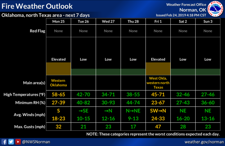
2) I haven’t said much lately about the FIRE DANGER but use caution when doing anything related to fire. If you see smoke or fire, call 911 and we’ll get it worked out.
3) Overall, a warm/cold/warm/ very cold week ahead so be prepared. Be sure to get our GARFIELD COUNTY EM app. You’re not prepared without it.
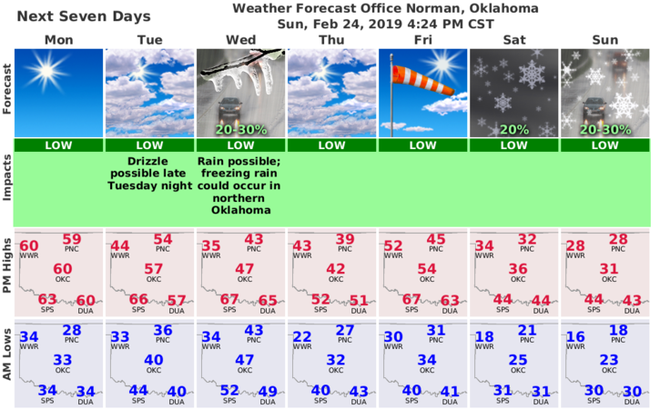
4) Here is your forecast from the NWS/NORMAN;
Monday-Mostly sunny, with a high near 59. South wind 10 to 20 mph, with gusts as high as 28 mph.
Monday Night-Increasing clouds, with a low around 34. South wind 9 to 13 mph.
HAVE A GOOD DAY!!
MIKE