0330L-MONDAY OUTLOOK FROM GARFIELD COUNTY EMERGENCY MANAGEMENT-6/21/21
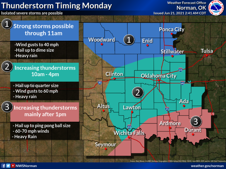
1- The cold front is here. Temps will gradually fall as the day progresses. Thunderstorms are possible this morning as storms in Kansas move east. There is some back building going on out west and a few could be severe so we’ll keep an eye out and advise as needed. If any storm goes severe, it would be due to hail and winds. We’ll see what happens.
2- Post frontal winds will increase with gusts upwards of 40 mph or so. We’ve already had a gust to 39 mph at 0310 local time so it will be a bit windy today. Timing on any storms will be according to the graphic attached. Take the time to look at these graphics closely. Overall, we’ll be ok but it will be windy. Here is your forecast from the NWS/NORMAN;
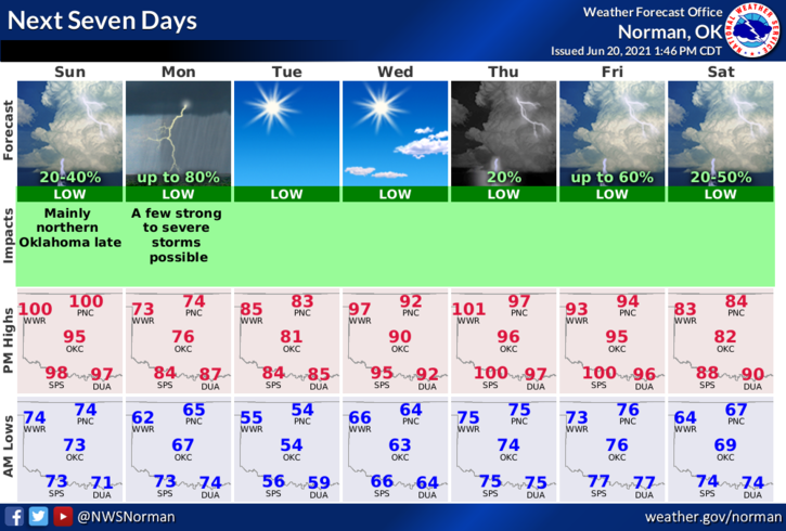
Monday-Mostly cloudy with a chance of showers and a slight chance of thunderstorms. Not as warm. Highs in the mid-70s. Northeast winds 15 to 25 mph. Chance of precipitation 50 percent.
Monday Night-Clear, cooler. Lows in the mid-50s. East winds 10 to 15 mph in the evening becoming light and variable.
Finally, download our GARFIELD COUNTY EM app. This way you’ll know what’s going on and it just could save your life.
HAVE A GOOD DAY!
MIKE