0340L-MONDAY UPDATE FROM ENID/GARFIELD COUNTY EMERGENCY MANAGEMENT-6/25/18
1- Another round of severe weather occurred a few hours ago bringing with it winds around 50 mph and ¾ to 1 inch of additional rainfall. A few more trees are down around the area so be careful if you encounter one.
2- As stated in previous posts, please report your damage to us by email mike@gcem.org or use the damage report icon on our GARFIELD COUNTY EM app.
3-The HEAT will be the issue this week. Upper 90’s into the low 100’s plus the heat index will give way to brutal heat and extreme caution should be used while working outside. We have discussed this a lot in the past, please heed the warnings for YOUR safety.
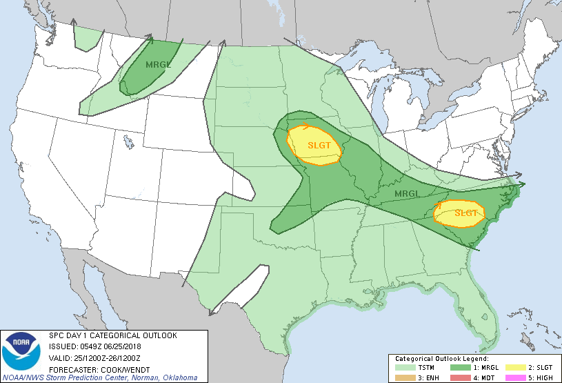
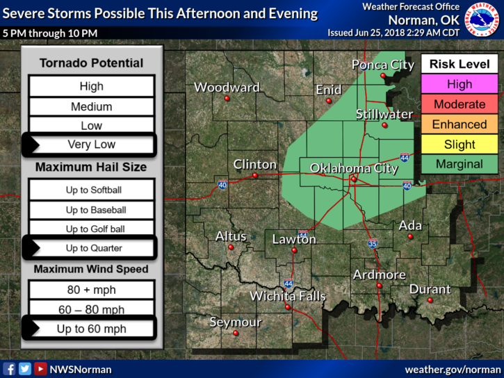
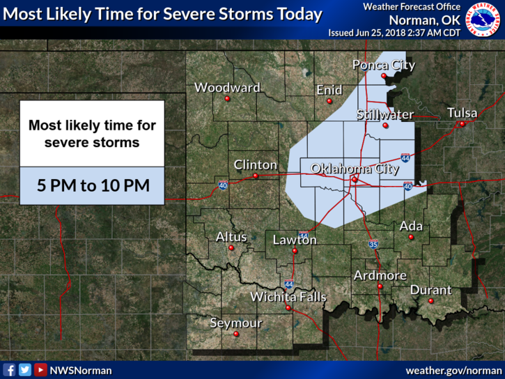
4-We are in a GENERAL RISK AREA for severe weather later today into the late evening hours. Wind and possibly hail are the risks. One more night of storms Monday night and then possibly a full night’s sleep? Maybe…
5- Here is your forecast from the NWS/NORMAN;
Monday-Showers and thunderstorms possible mainly before 7am. High near 84. North winds 5 to 15 mph gusting to 25 becoming southwest in the afternoon. Chance of precipitation is 60%. New rainfall amounts between a quarter to half an inch possible.
Monday Night-40 percent chance of showers and thunderstorms before 1am. Some of the storms could produce heavy rainfall. Low around 71. South wind 5 to 10 mph.
HAVE A GOOD DAY!!
MIKE