0330L-MONDAY OUTLOOK FROM GARFIELD COUNTY EMERGENCY MANAGEMENT-5/31/21
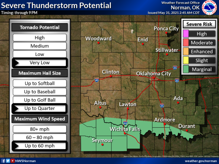
1- We are in a GENERAL THUNDERSTORM RISK area once again today. It appears we may actually see some rain occasionally throughout the day. Some rain will be heavy at times. We are NOT in a flood watch YET but it does include areas south and east of us. If you are traveling today, use extreme caution while driving and slow down. Hydroplaning can cause you to lose control of your vehicle and you can have an accident.
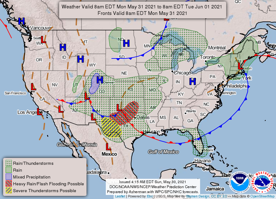
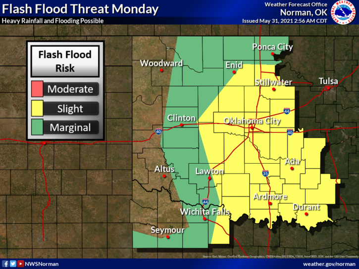
2-There is a FLASH FLOOD WATCH in effect for all of Oklahoma EXCEPT the NORTHWEST Quadrant of the state. Everything south and east from ROUGHLY a Roger Mills-Custer-Blaine-Kingfisher-Garfield-Noble-Kay Counties are in a flood watch today. A lot of rainfall is expected. That said, Flooding could affect us here too if storms shift and train over our area. We’ll keep an eye on this too.
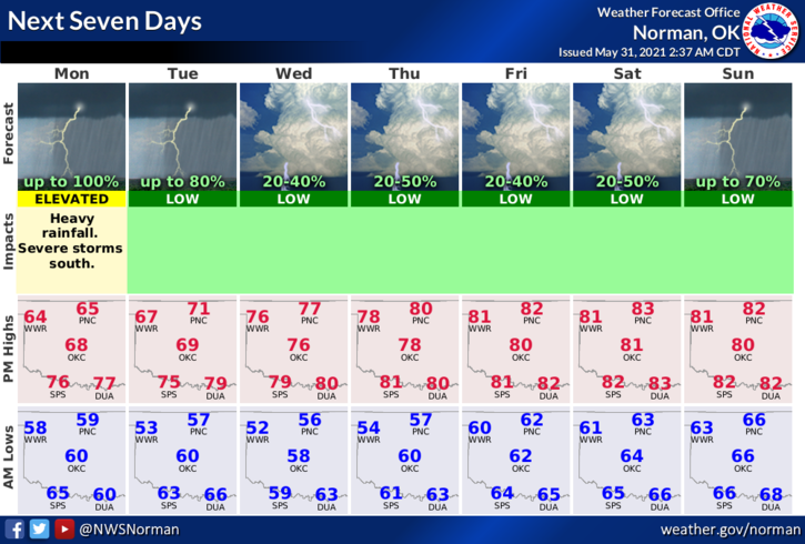
3- Overall, pay close attention to NWS Advisories and Warnings wherever you are and whenever you are traveling. Here is your forecast from the NWS/NORMAN;
Memorial Day-Showers and thunderstorms before 8am, then showers and possibly a thunderstorm after 8am. Some of the storms could produce heavy rain. High near 64. Southeast wind 5 to 15 mph. Chance of precipitation is 100%. New rainfall amounts between 1 and 2 inches possible.
Monday Night-Showers and possibly a thunderstorm, mainly before 11pm, then a chance of showers and thunderstorms after 11pm. Low around 56. Northeast wind 8 to 10 mph. Chance of precipitation is 90%. New rainfall amounts between a quarter and half of an inch possible.
FINALLY- Be sure and download our GARFIELD COUNTY EM app. It just might save your life.
MIKE