0325L-MONDAY OUTLOOK FROM GARFIELD COUNTY EMERGENCY MANAGEMENT-11/7/22
1- The cool front that moved in yesterday will begin it’s trek back north as a warm front. After it moves through the area, it will bring warmer temps and moisture. There is a good chance we could begin to see foggy conditions later tonight into Tuesday. If FOGGY conditions occur, slow down and actually stop where there are stop signs and red lights. Slow down and DON’T OVERDRIVE CONDITIONS as when you notice something in front of you, it may be too late.
2- The above said, while driving, just pay closer attention to your driving so you and others don’t get hurt or worse.
3- Overall, we’ll be ok so here is your forecast from the NWS/NORMAN;
Today- Mostly sunny this morning, then becoming mostly cloudy. Highs in the mid-60s. Northeast winds 10 to 15 mph.
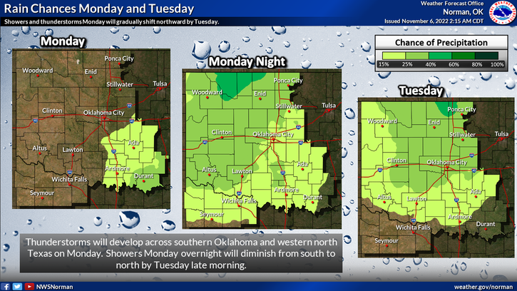
Tonight- Cloudy. A chance of showers, possible thunderstorms, and drizzle after midnight. Patchy fog after midnight. Near steady temperature in the upper 50s. Southeast winds 5 to 10 mph. Chance of rain 30 percent.
Have a good day!